Oakley
| Also known as: | Oakley Aerodrome / RAF Oakley / RAF Station, Oakley / Worminghall (unofficial local name) / Wornal Park |
| County: | Buckinghamshire |
| Current Status: | Aviation / Farmland (main position) / Industry (main position) |
| Date: | 27 May 1942 - circa 1953; subsequent minor use to present |
| Current Use: | Disused |
| Used By: | RAF (main user) / Civil (minor use) |
| Landing Surface Types: | Paved |
| Aircraft Roles: | General aviation (minor use) / Military development/support / Trainer (main role) |
The following organisations are either based at, use and/or have at least potentially significant connections with the airfield (as at 01/09/2011):
- AB Systems Ltd
- Beechfield Restorations Ltd
- D2F Group
- Gemini Prototyping
- Gentry Restorations Ltd
- Natural Balance Foods Ltd
- Natural Building Technologies
- Oakley Parish Council
- Oranka Fruit Juices Ltd
- Oxford Cheese Company
- Quires Ltd
- Rallyschool (rallyschool.co.uk)
- SLR Consulting Ltd
- Teknomat UK Ltd t/a Bean Bags Coffee
- TipsTrade Ltd
- UKP Worldwide (UK) - formerly UK Postings Ltd
- Worminghall Parish Council
- Zilco Europe Ltd
Main unit(s) present:
- No 11 OTU
- Buckinghamshire Microlight Club
- Target Aircraft Development Unit
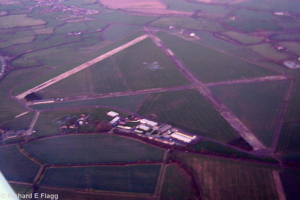
Aerial view of Oakley, 14 January 2007. © Richard Flagg

B1 Type Aircraft Shed at Oakley, 15 March 2013. © Richard Flagg
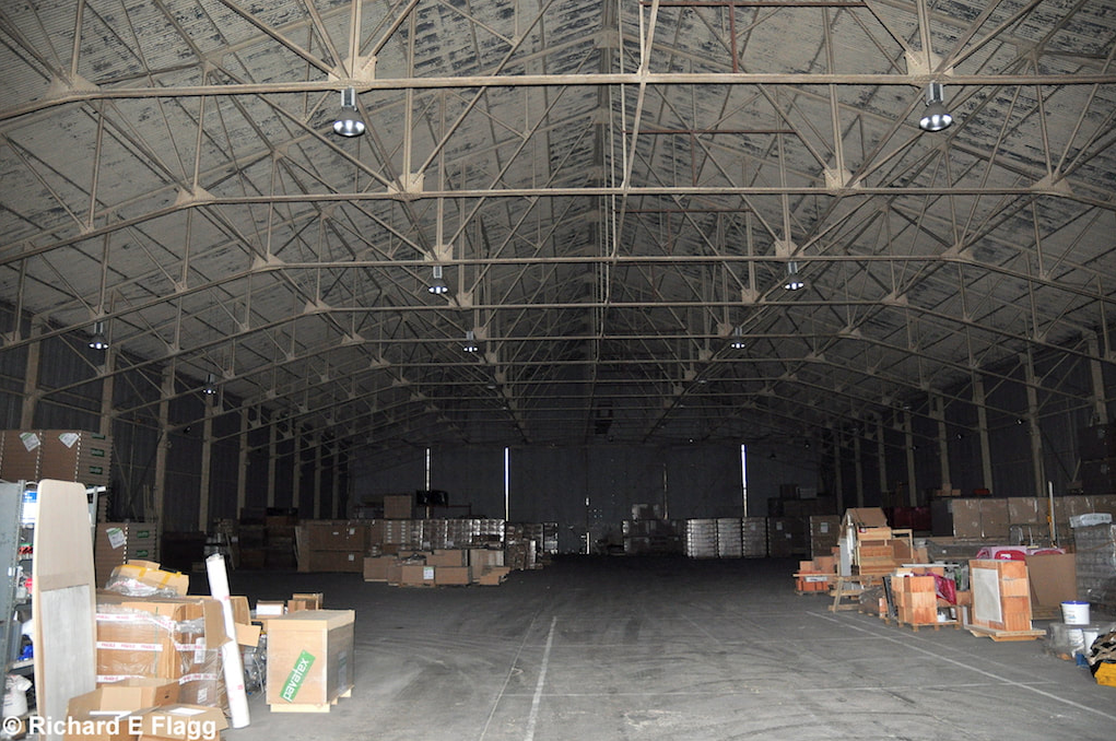
B1 Type Aircraft Shed interior at Oakley, 15 March 2013. © Richard Flagg
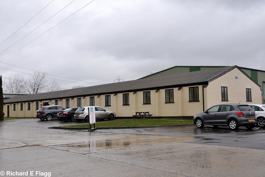
Night Flying Equipment Store at Oakley, 15 March 2013. © Richard Flagg
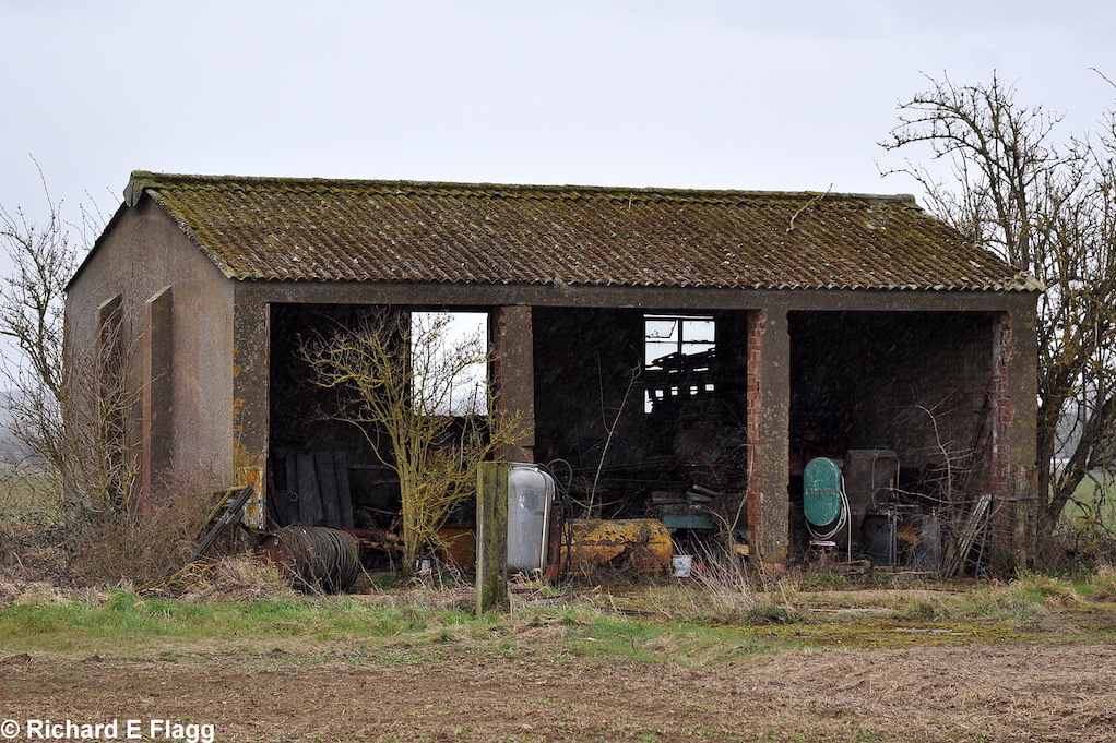
Unknown building at Oakley, 15 March 2013. © Richard Flagg
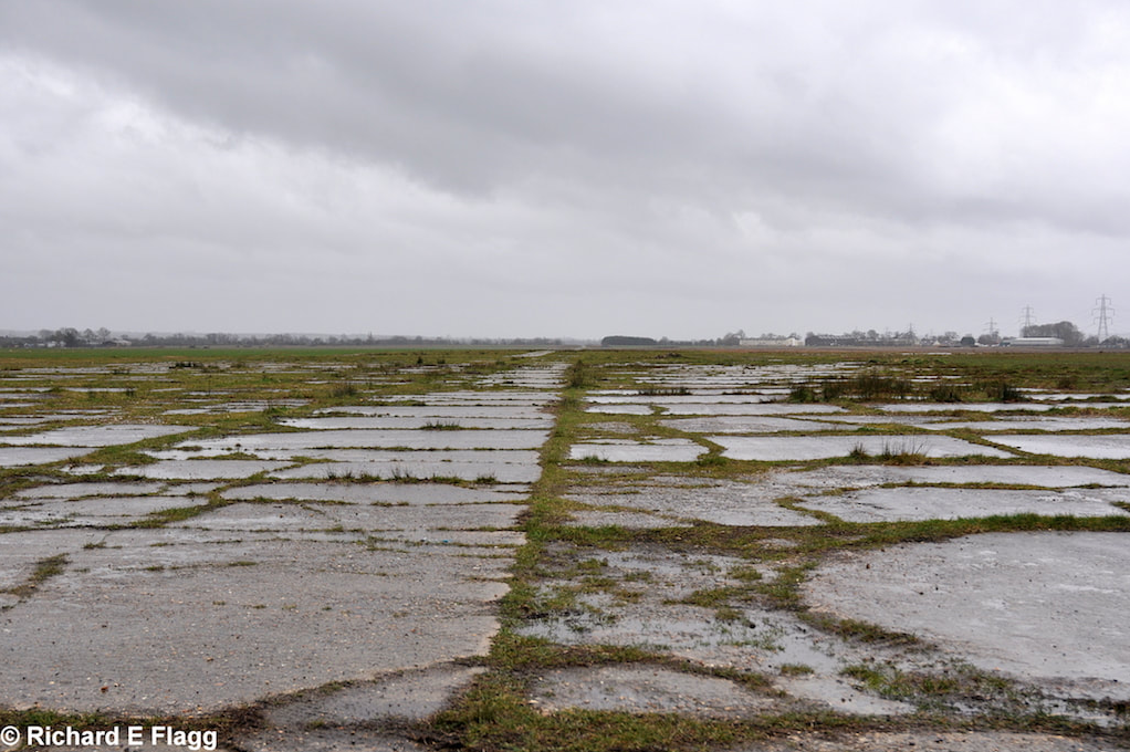
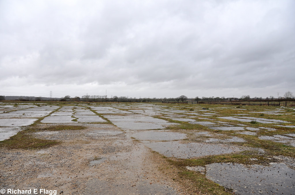
Looking south from the runway 20 threshold at Oakley, 15 March 2013. © Richard Flagg
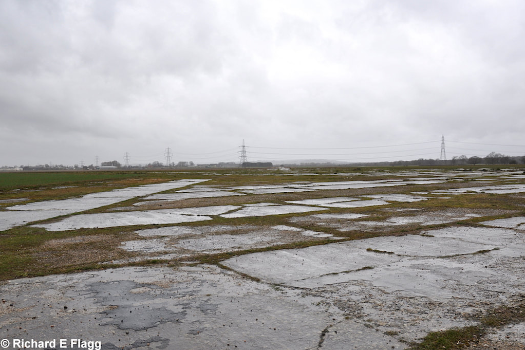
Taxiway at the east of airfield, looking north from the adjacent B1 Hangar, 15 March 2013. © Richard Flagg
Taxiway at the east of airfield, looking south from the adjacent B1 Hangar, 15 March 2013. © Richard Flagg
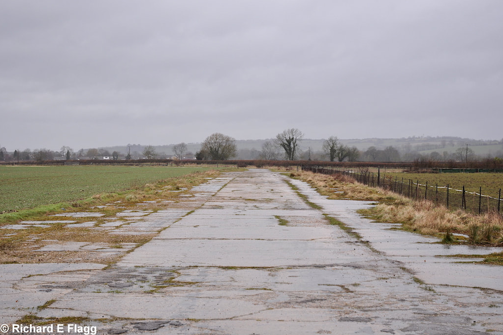
Looking south-west from the runway 07 threshold, 15 March 2013. © Richard Flagg
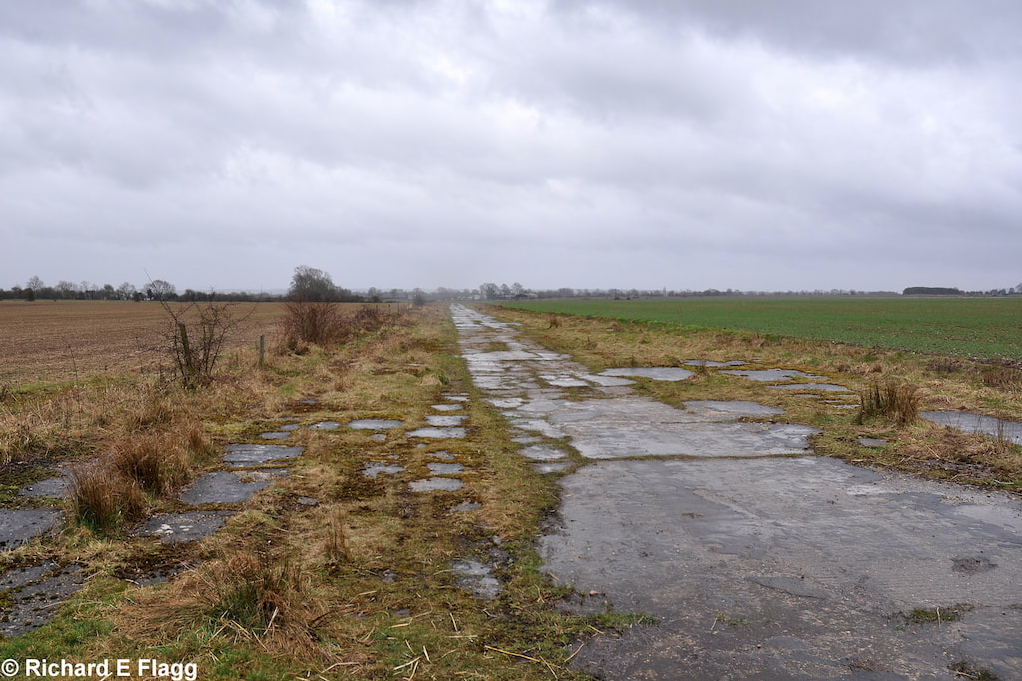
Taxiway at the north-east of the airfield. Looking north-west from the runway 07 threshold towards the runway 20 threshold, 15 March 2013. © Richard Flagg
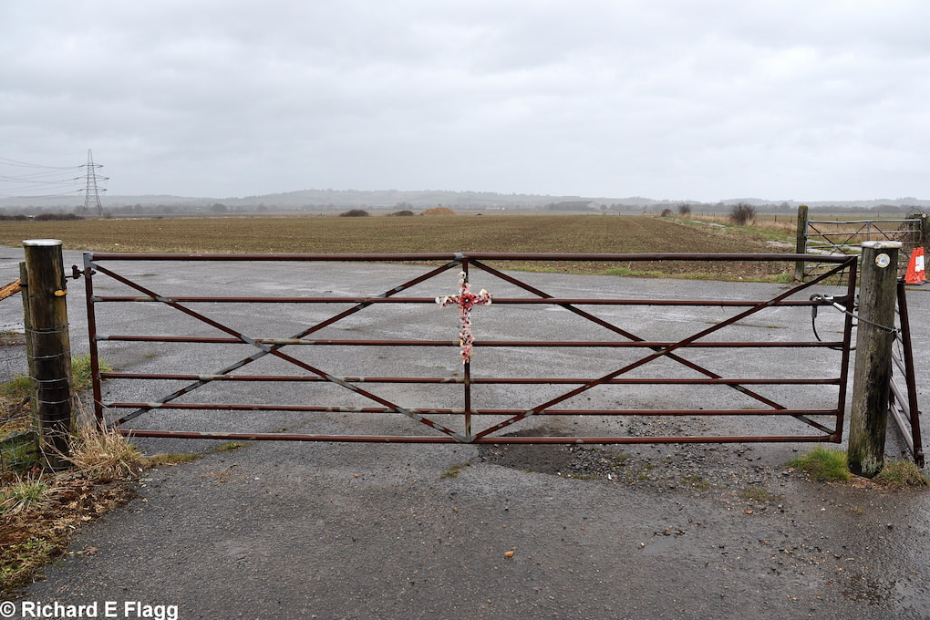
Taxiway at the west of the airfield. Gate on to the airfield at Wornal Park, 15 March 2013. © Richard Flagg
Celebrating the 70th Anniversary of Oakley airfield. Courtesy of SKYFLYBRI
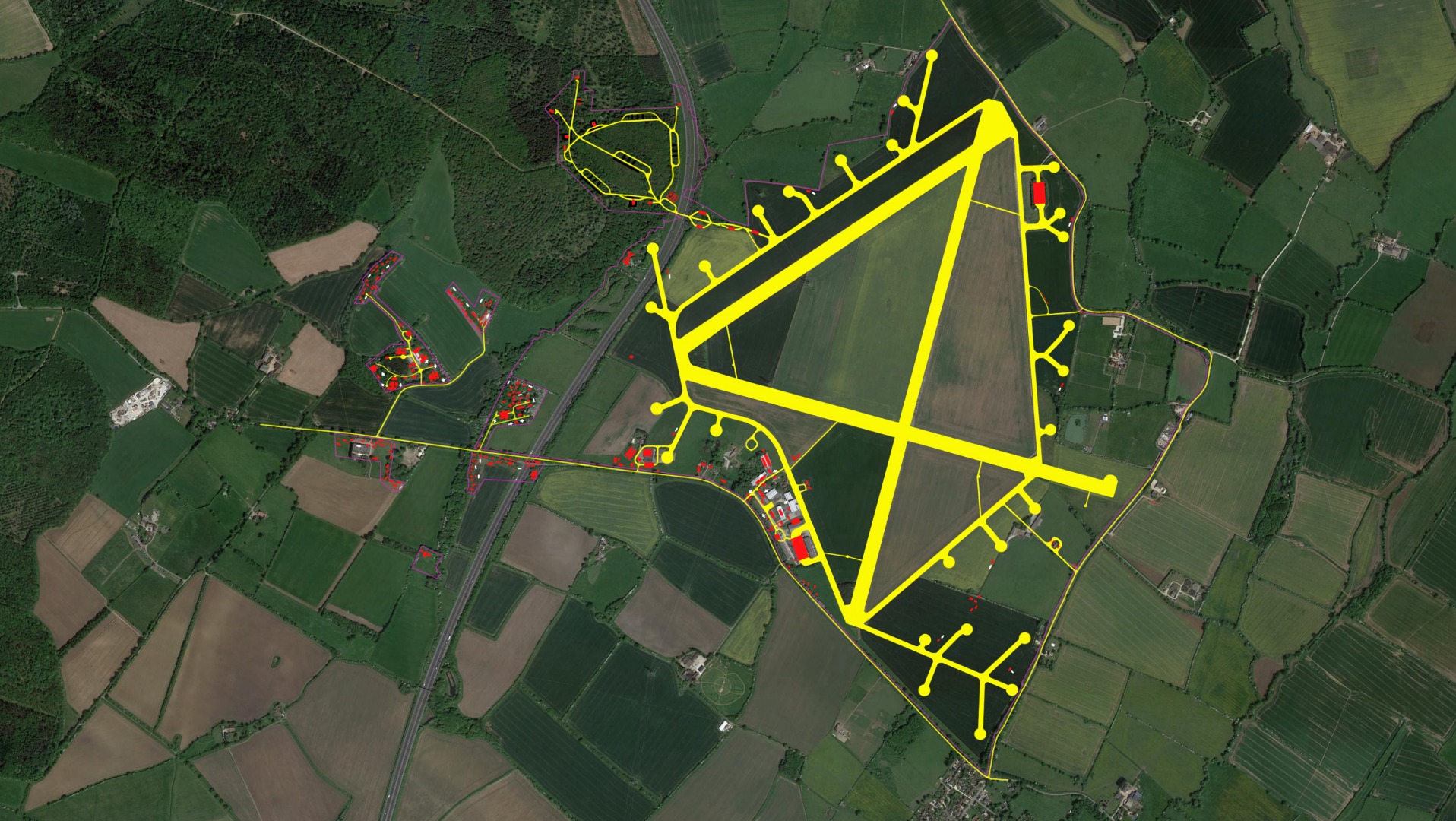
Key
Purple = Boundary
Yellow = Roads and tracks
White = Blast and air raid shelters
Red = Buildings/structures
Plan of Oakley. Courtesy of Ed Andrews
| Parent(s)/HQ Airfield(s): |