Defford
Major
| Also known as: | Defford Aerodrome / RAF Defford / RAF Station, Defford |
| County: | Worcestershire |
| Current Status: | Farmland / Military research / Police / Satellite communications |
| Date: | September 1941 - September 1957; subsequent minor use |
| Current Use: | Disused |
| Used By: | RAF (main user) / Civil (minor use) |
| Landing Surface Types: | Paved |
| Aircraft Roles: | Experimental (main role) / General aviation (minor use) / Trainer |
The following organisations are either based at, use and/or have at least potentially significant connections with the airfield (as at 01/09/2011):
- Croome Park
- Defford Airfield Heritage Group
- Defford and Besford Parish Council
- Merlin/VLBI National Facility
- RAF Defford Museum
- Severn Stoke & Croome d'Abitot Parish Council
- West Mercia Constabulary
Main unit(s) present:
- No 23 OTU
- No 1001 Signals Unit
- Defford Aero Club
- Radar Research Flying Unit
- Special Installation Unit
- Station Flight, Defford
- Telecommunications Flying Unit
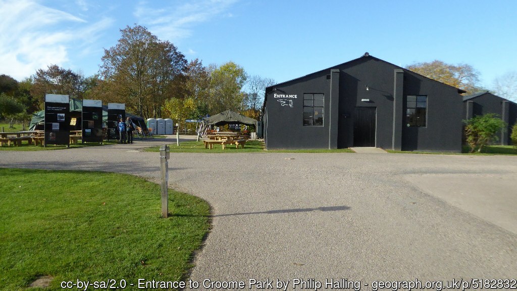
Building that was part of Defford airfield, 4 November 2016.

Building that was part of Defford airfield, 5 May 2018.