Deopham Green
| Also known as: | Deopham / RAF Deopham Green / RAF Station, Deopham Green / USAAF Station 142 |
| County: | Norfolk |
| Current Status: | Farmland (main position) / Public road |
| Date: | January 1944 - 1 January 1948 |
| Current Use: | Disused |
| Used By: | RAF / USAAF (main user) |
| Landing Surface Types: | Paved |
| Aircraft Roles: | Bomber |
The following organisations are either based at, use and/or have at least potentially significant connections with the airfield (as at 01/09/2011):
- Deopham & Hackford Parish Council
- Great Ellingham Parish Council
- Hingham Town Council
- St. Andrew's Church, Hingham
Main unit(s) present:
- No 258 MU
- 452nd BG
- 728th BS
- 729th BS
- 730th BS
- 731st BS
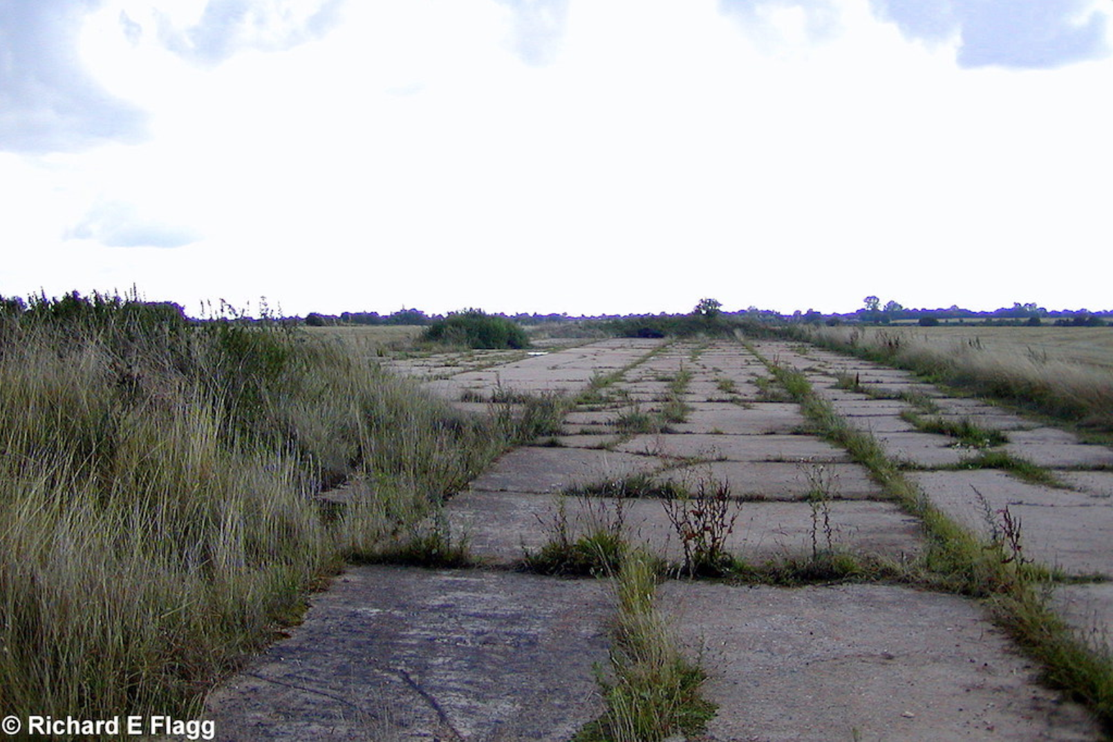
Runway 06:24, looking south west from the runway 17:35 intersection, 13 August 2006. © Richard Flagg
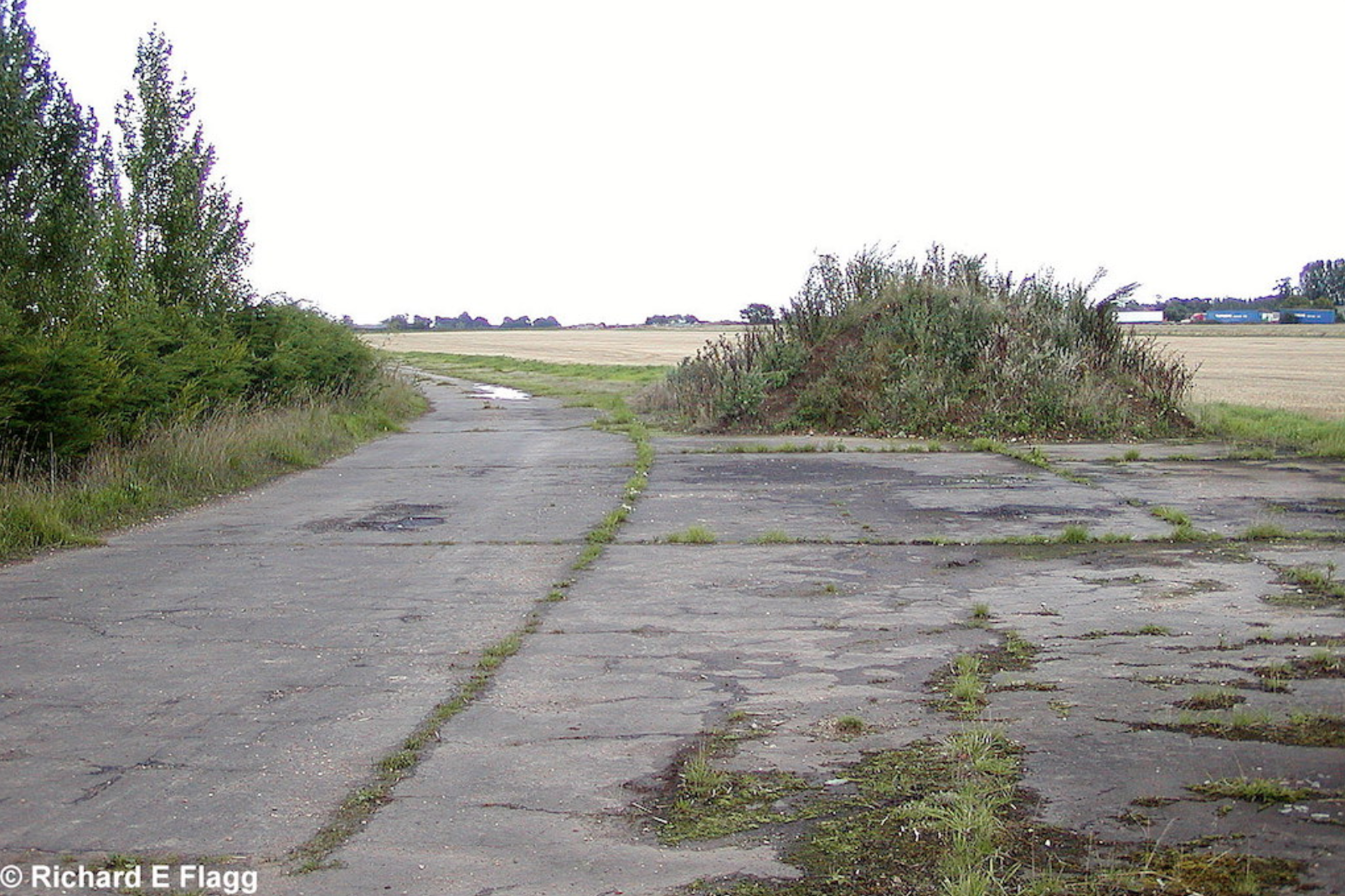
Taxiway at the north of the airfield, looking north east from Stalland Lane, 13 August 2006. © Richard Flagg
Runway 06:24, looking south west from Stalland Lane, 10 February 2008. © Richard Flagg
Runway 06:24, looking north east from the runway 17:35 intersection, 10 February 2008. © Richard Flagg
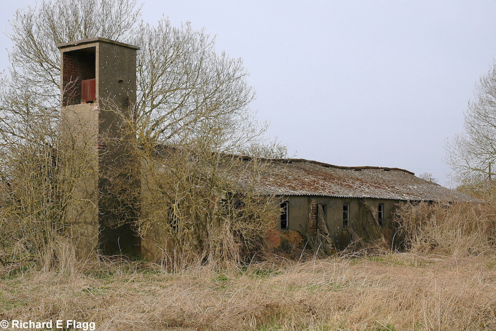
Sergeants and Airmen's Ablutions at Deopham Green, 16 March 2009. © Richard Flagg
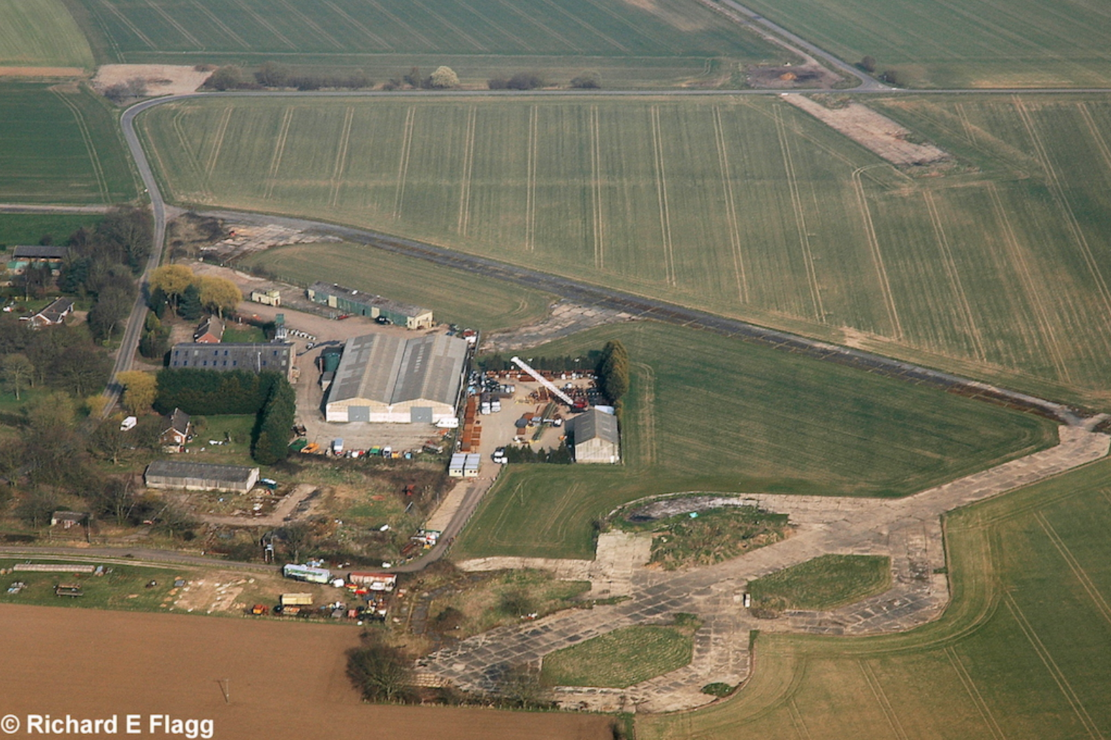
Aerial view of Deopham Green, 21 March 2009. © Richard Flagg
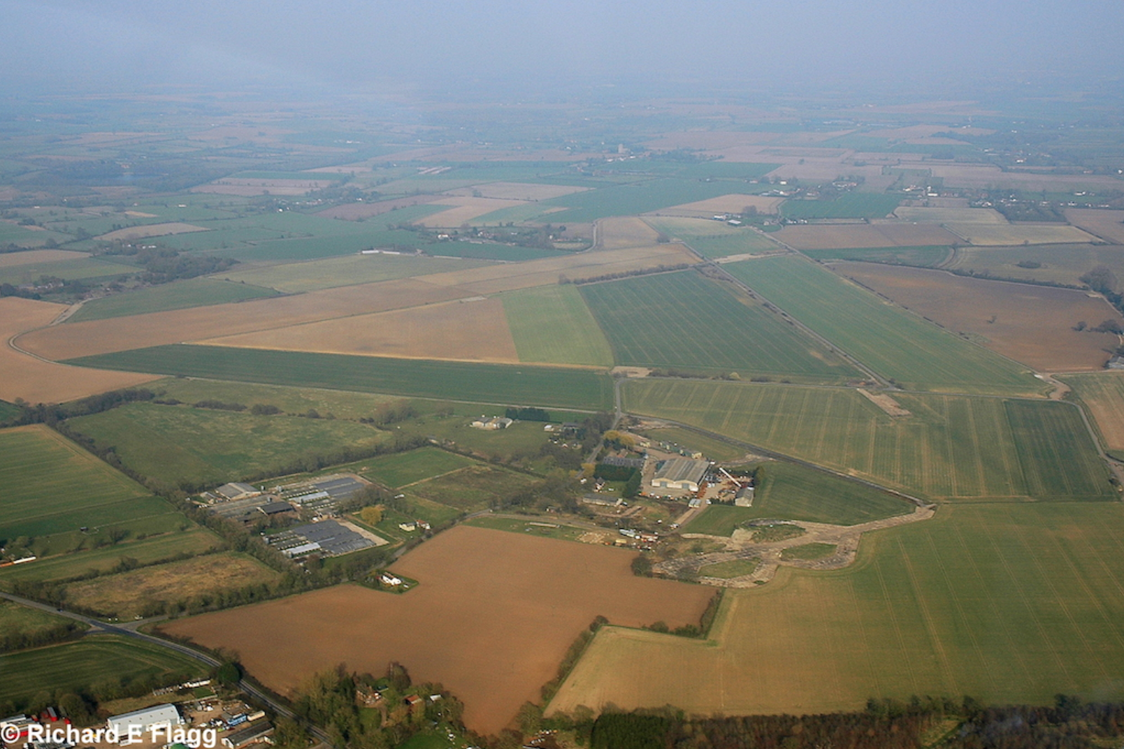
Aerial view of Deopham Green, 21 March 2009. © Richard Flagg
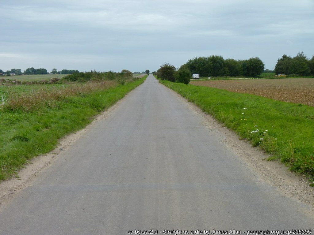
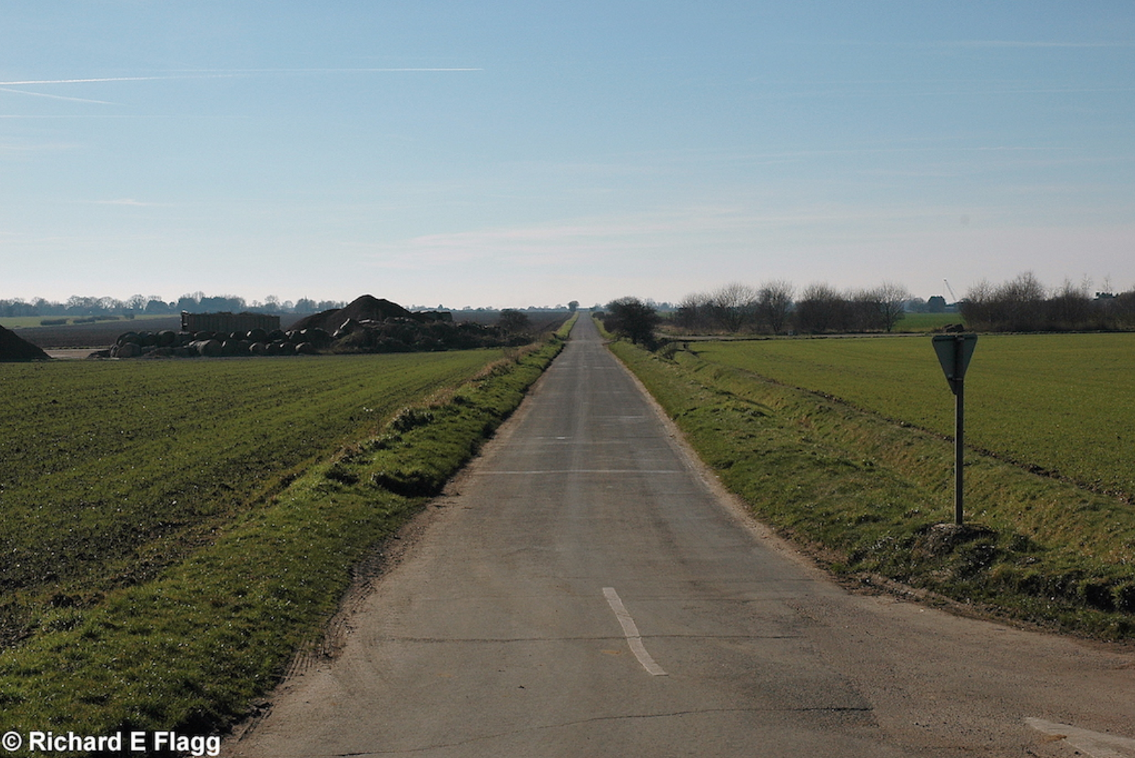
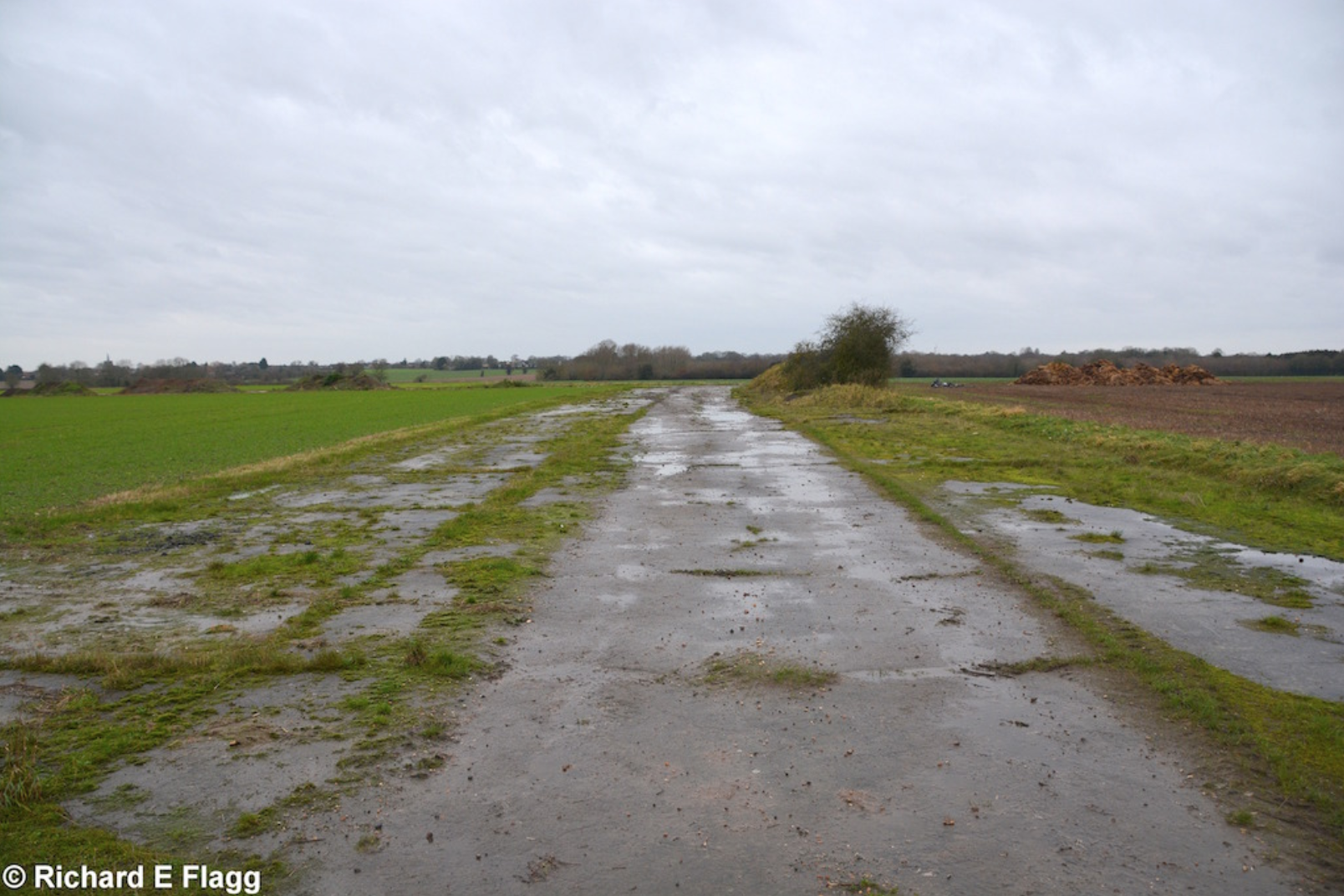
A road following the line of a runway at Deopham Green, 19 September 2010.
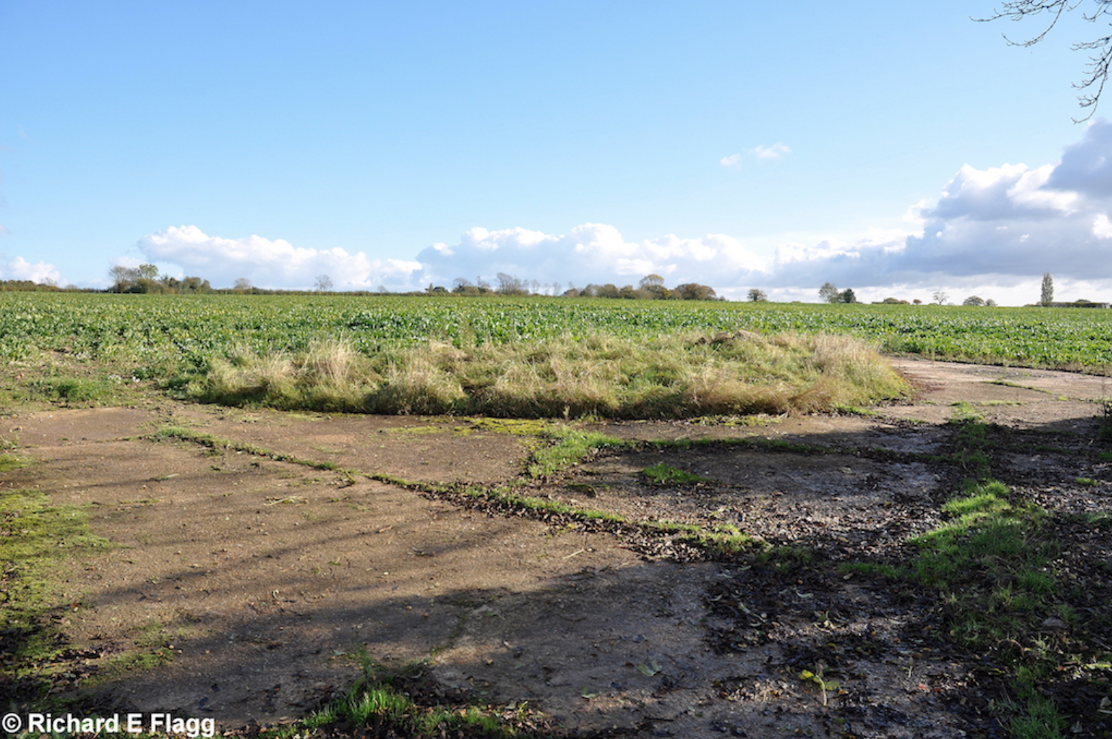
Site of the pyrotechnic stores at Deopham Green, 5 November 2012. © Richard Flagg
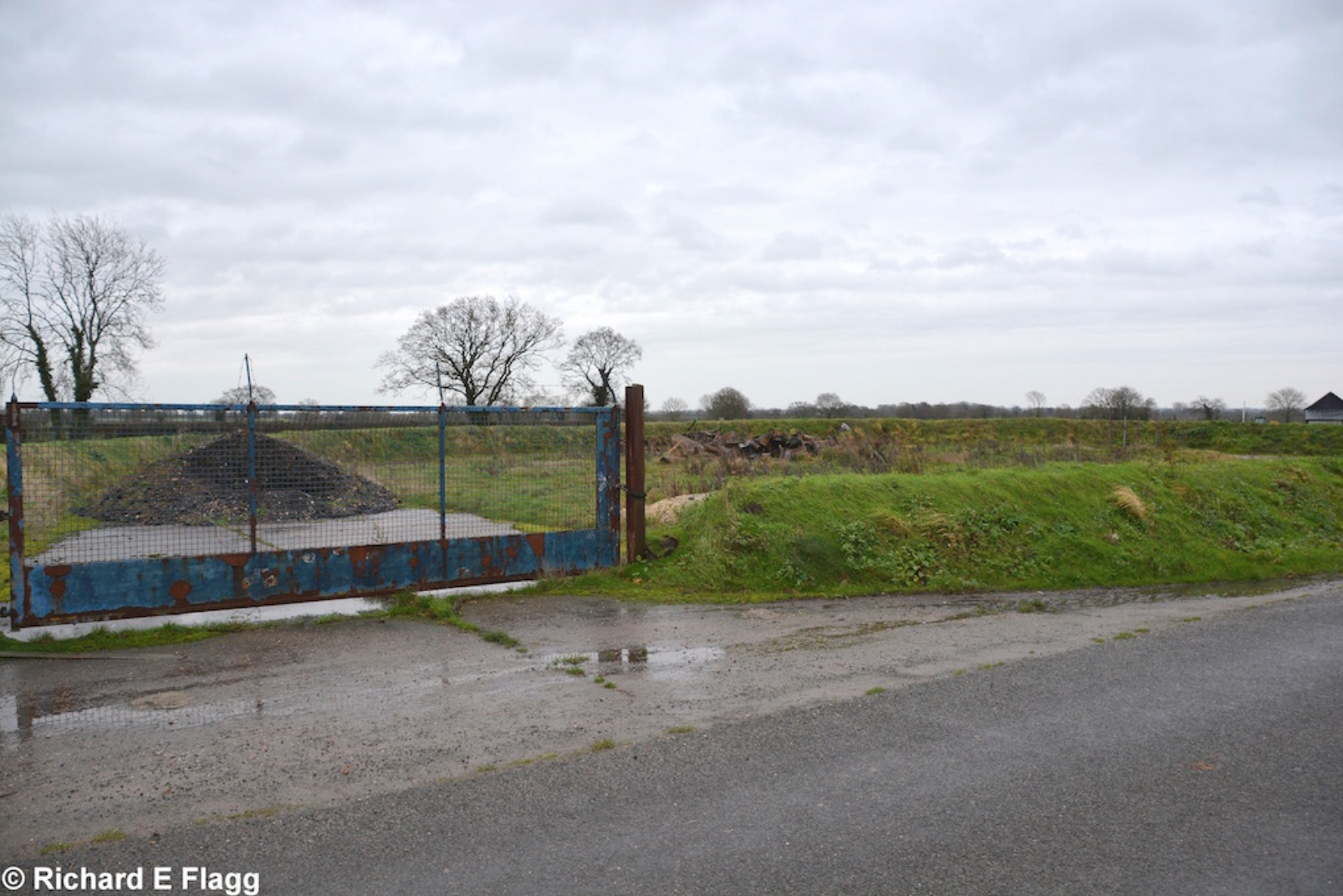
Petrol Installation at Deopham Green, 12 December 2015. © Richard Flagg
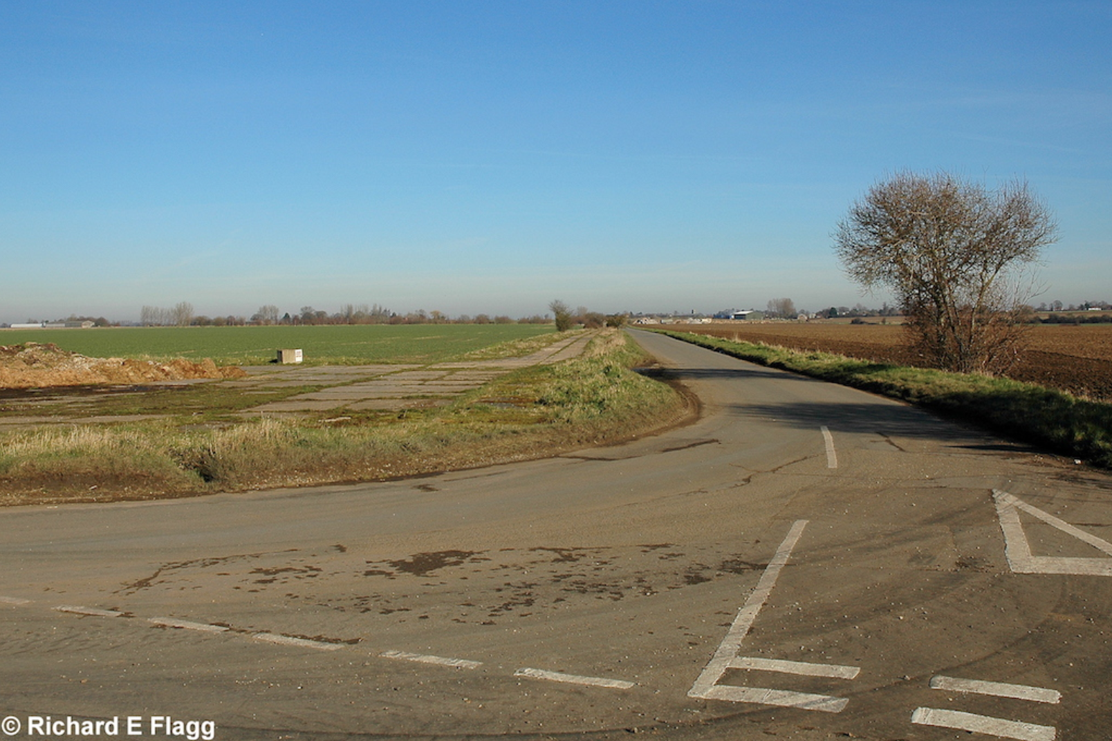
Taxiway at the south of the airfield, looking south west from the road at Bush Green, 12 December 2015. © Richard Flagg
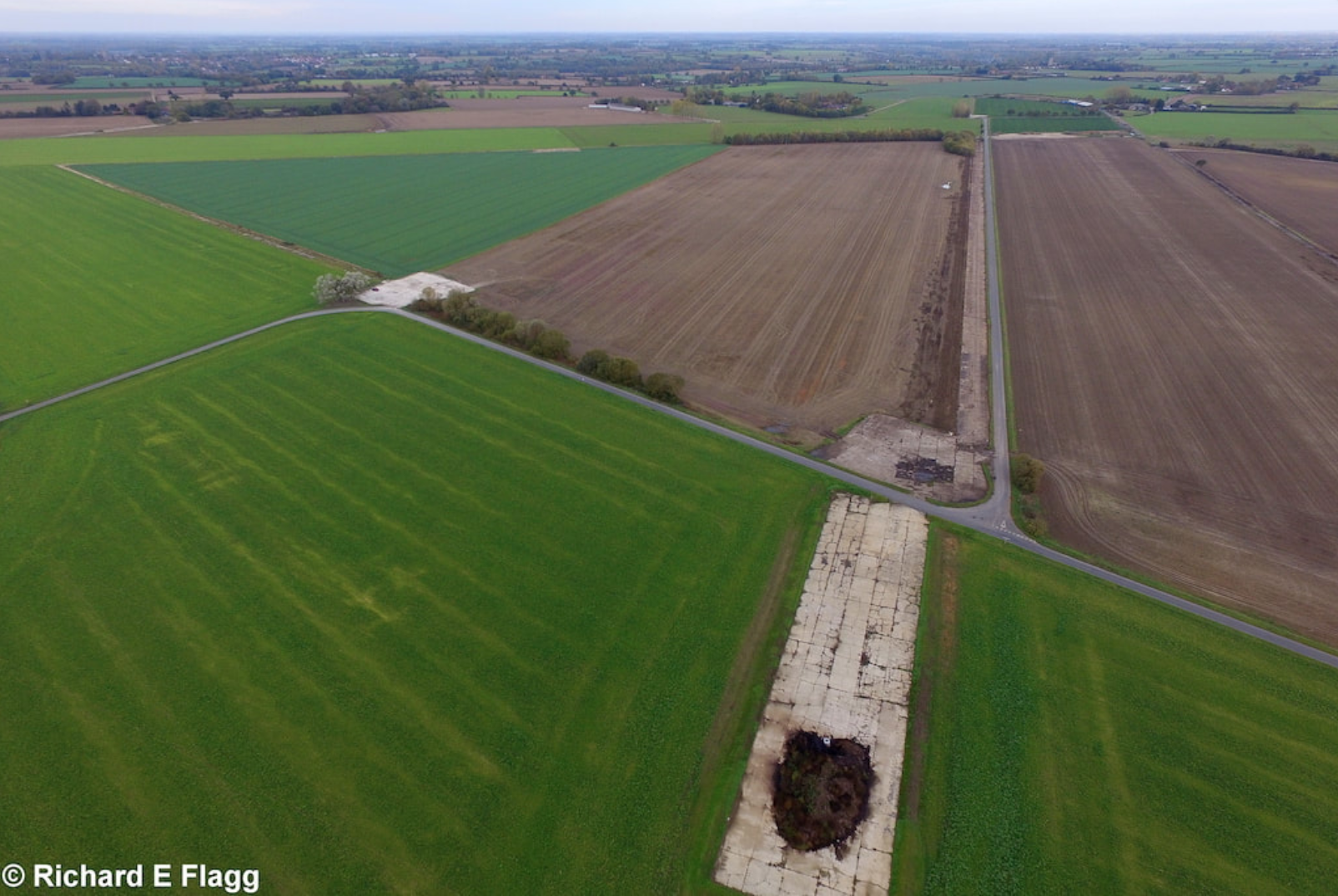
Aerial view of Deopham Green, 3 November 2018. © Richard Flagg
Footage of Deopham Green, c. 2016. Courtesy of 1tothirtysix
Aerial footage of Deopham Green. Courtesy of maynorfolk
| Parent(s)/HQ Airfield(s): |