Attlebridge
| Also known as: | Attlebridge Aerodrome / RAF Attlebridge / RAF Station, Attlebridge / USAAF Station 120 / Weston Longville (unofficial local name) |
| County: | Norfolk |
| Current Status: | Farmland (main position) / Public road |
| Date: | June 1941 - 5 August 1956 |
| Current Use: | Disused |
| Used By: | RAF (main user) / RAF (Dutch) / USAAF (main user) |
| Landing Surface Types: | Unpaved, later paved (1942) |
| Aircraft Roles: | Bomber (main role) / Fighter / Trainer |
The following organisations are either based at, use and/or have at least potentially significant connections with the airfield (as at 01/09/2011):
- All Saints' Church, Weston Longville
- Attlebridge Parish Meeting - name only
- Bernard Matthews Farms Ltd
- Hockering Parish Council
- Weston Longville Parish Council
The following alternative information/mass media sources have at least potentially significant connections with the airfield (as at 30/11/2018):
- Hockering Village
Main unit(s) present:
- No 88 Sqn
- No 94 MU
- No 105 Sqn
- No 121 Airfield
- No 231 MU
- No 247 Sqn
- 319th BG
- No 320 Sqn
- 466th BG
- 784th BS
- 785th BS
- 786th BS
- 787th BS
- No 1508 BAT Flight
- No 3209 Servicing Commando
- No 4190 Anti-Aircraft Flight RAF Regiment
- Station Flight, Attlebridge
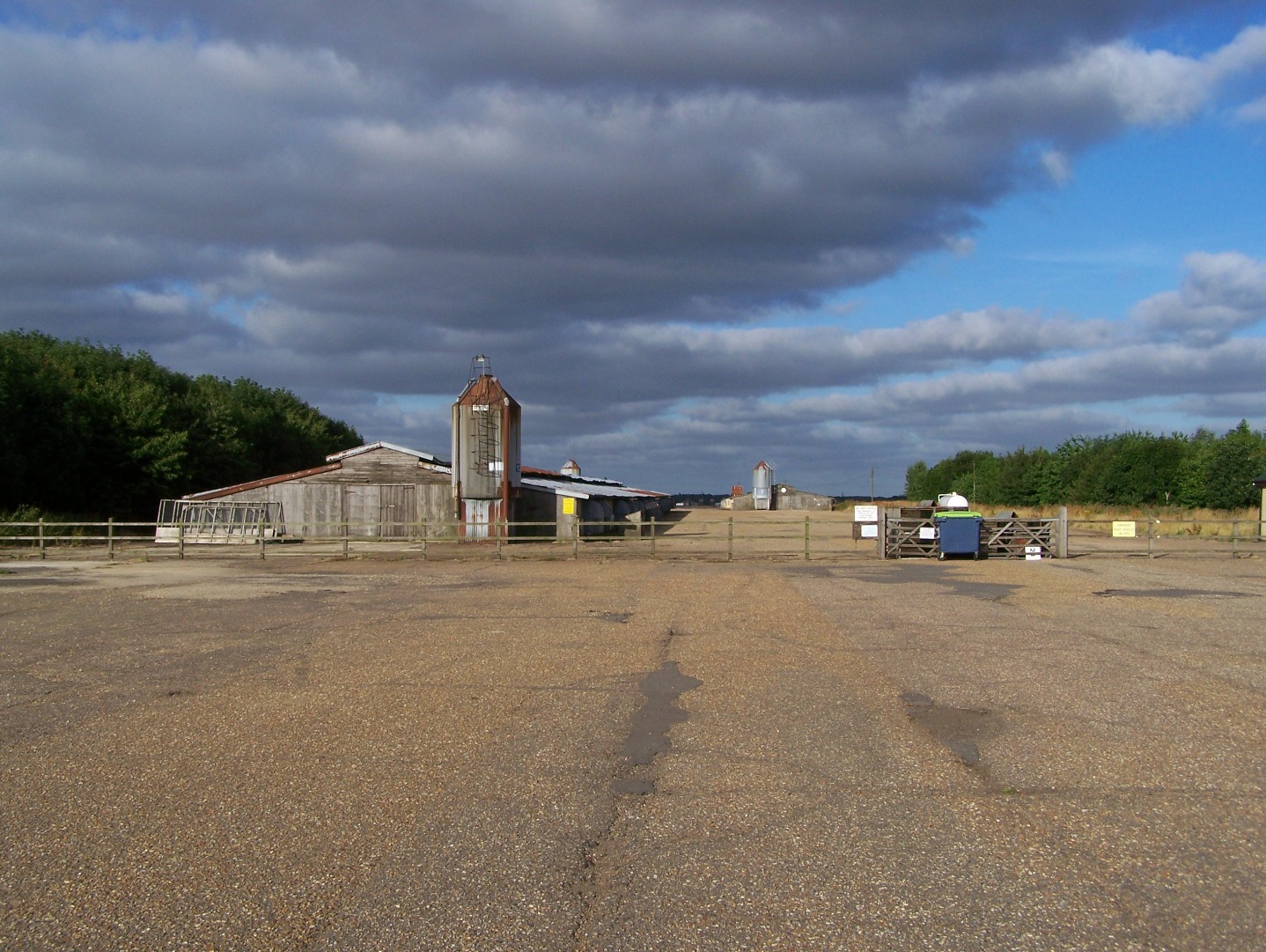
The west side of the main runway at Attlebridge, now with broiler houses in place, 14 July 2006.
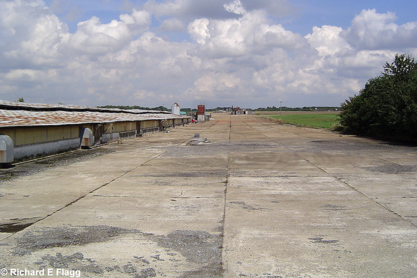
Runway 04:22, looking north east from the runway 04 threshold, 17 August 2006. © Richard Flagg
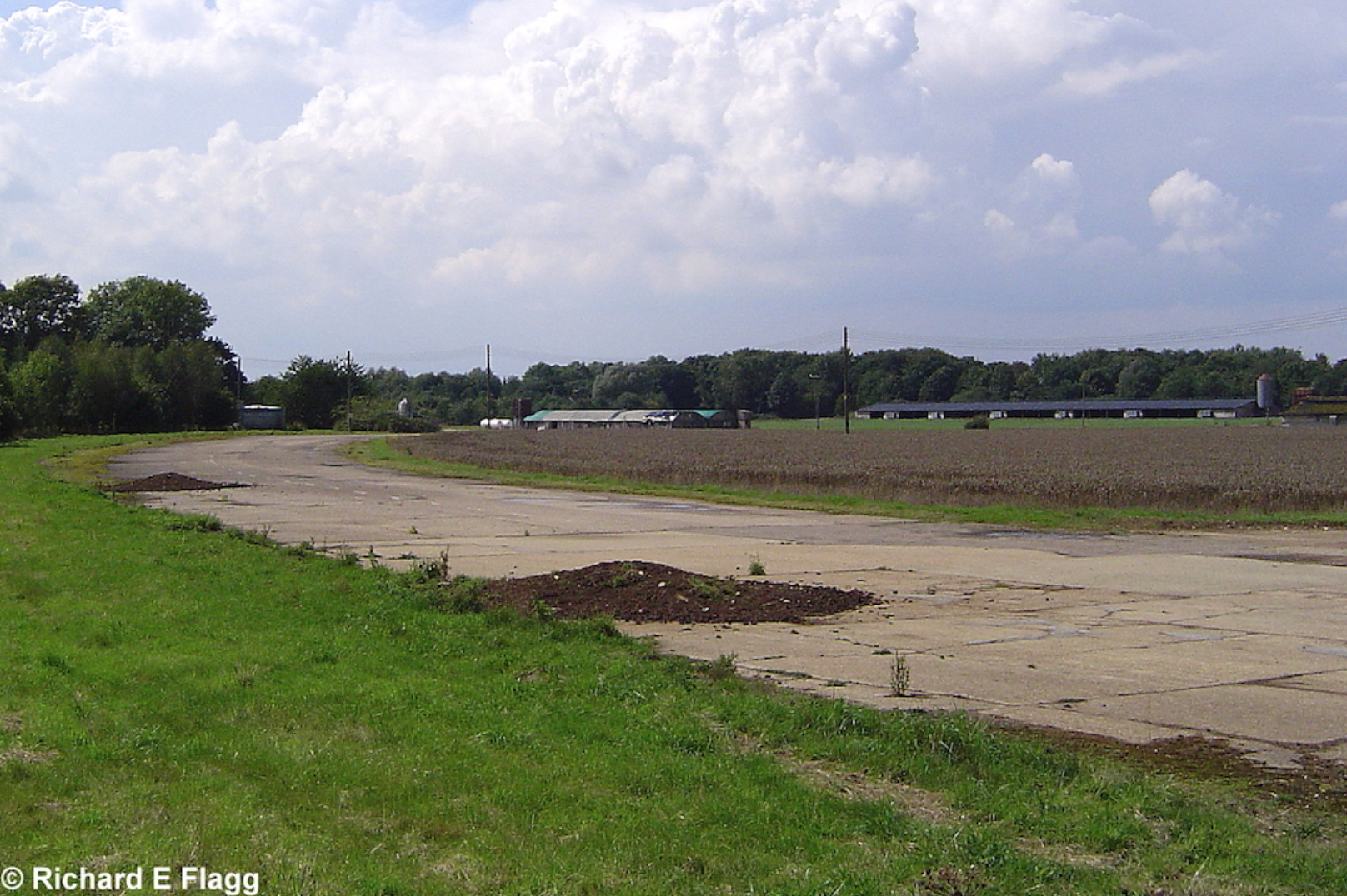
Taxiway at the east of the airfield, looking south from runway 14:32, 17 August 2006. © Richard Flagg
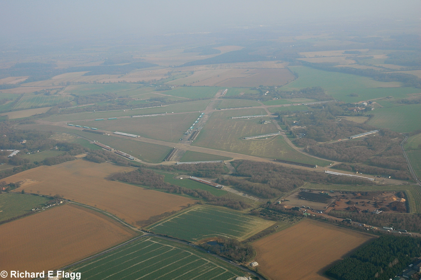
Aerial view of Attlebridge, 21 March 2009. © Richard Flagg
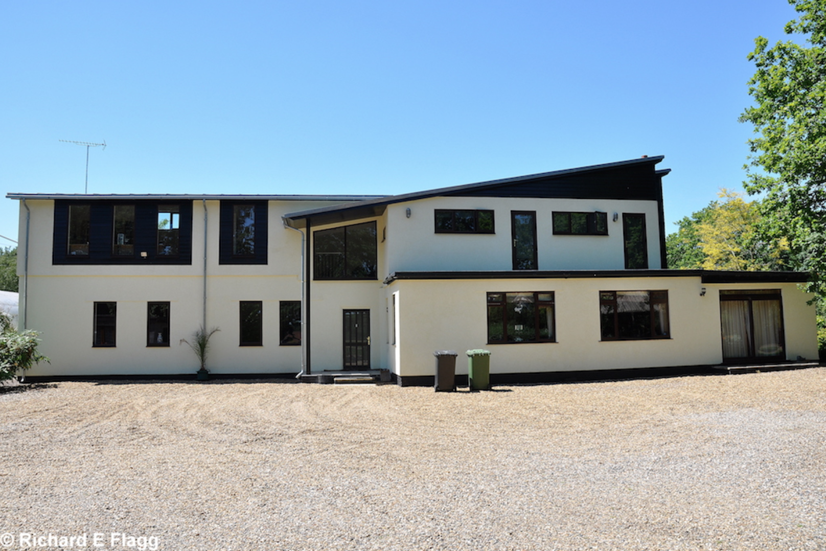
Operations Block at Attlebridge, 23 June 2009. © Richard Flagg
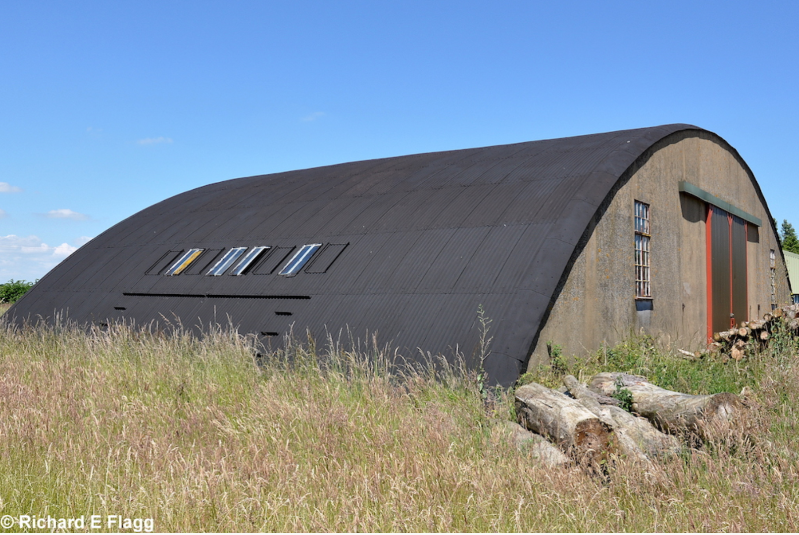
Blister hangar at Attlebridge, 23 June 2009. © Richard Flagg
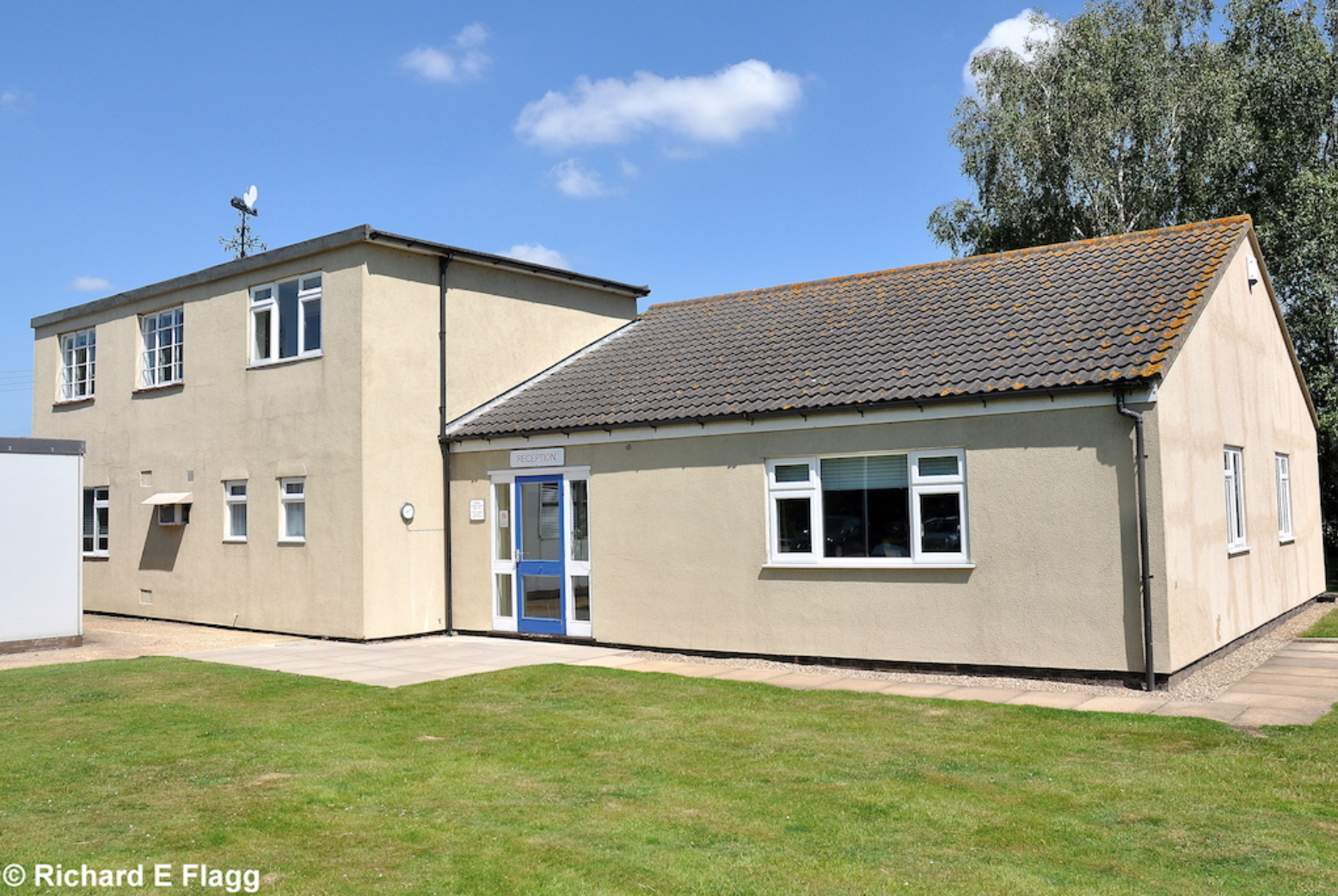
Watch Office with Ops Room for Bomber Satellite Stations at Attlebridge, 23 June 2009. © Richard Flagg
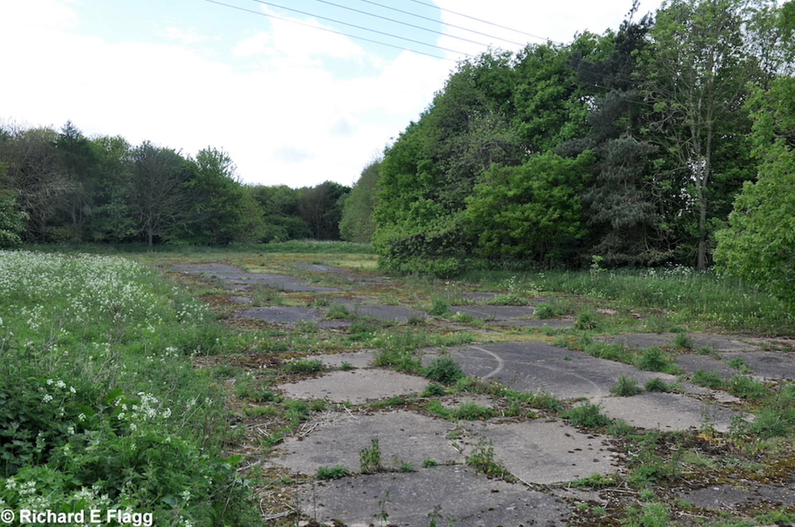
Aircraft hardstand at Attlebridge, 10 May 2014.
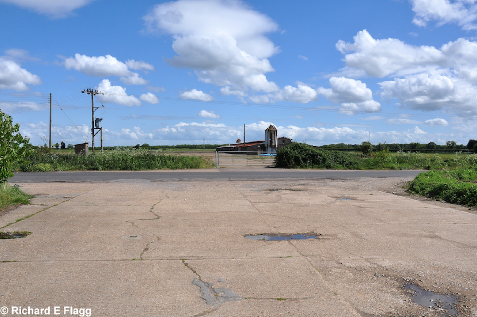
Runway 14:32, looking south east from Honingham Road, 10 May 2014. © Richard Flagg
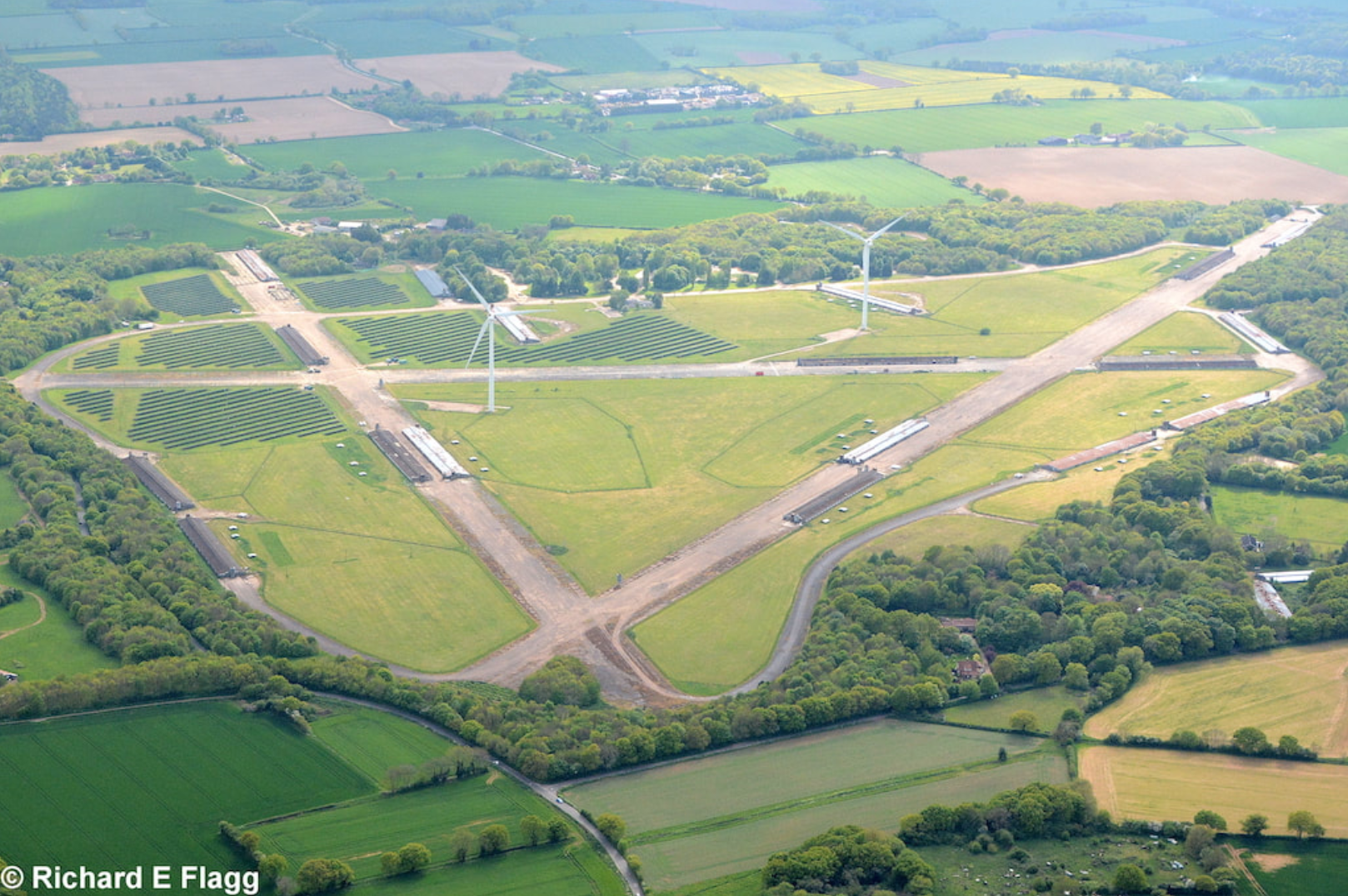
Aerial view of Attlebridge, 13 May 2017. © Richard Flagg
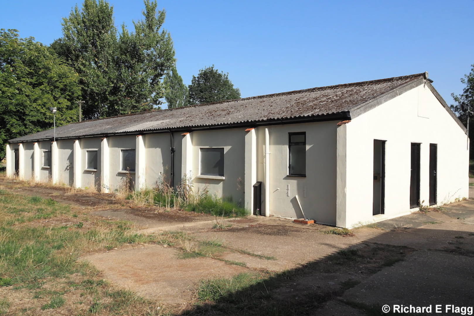
Speech Broadcasting Building at Attlebridge, 6 August 2018. © Richard Flagg
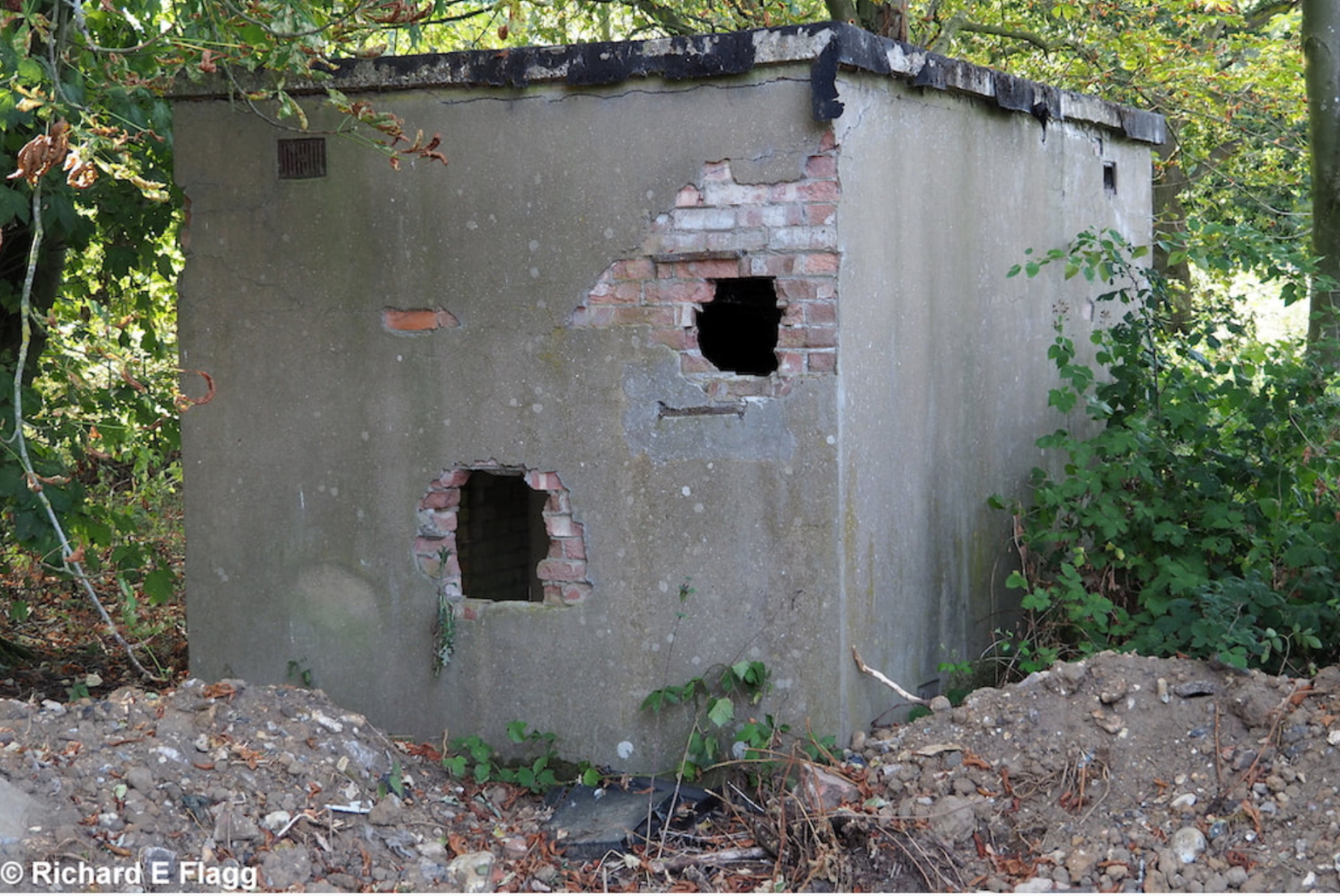
Armoury at Attlebridge, 6 August 2018. © Richard Flagg
US 466th Bomb Group, includes photographs of Attlebridge. Courtesy of ChiefVideoProduction
| Parent(s)/HQ Airfield(s): |