Airfield search
Wing

| Also known as: | Cublington (unofficial local name) / Lancaster Business Park / RAF Station, Wing / RAF Wing / Wing Aerodrome |
| County: | Buckinghamshire |
| Current Status: | Farmland / Industry |
| Date: | November 1941 (closed to flying) - 4 April 1956 |
| Current Use: | Disused |
| Used By: | RAF / USAF |
| Landing Surface Type(s): | Paved |
The following organisations are either based at, use and/or have at least potentially significant connections with the airfield (as at 01/07/2013):
- Commercial Transport Training Ltd
- Cublington Parish Council
- Wing Heritage Group
- Wing Library
- Wing Parish Council
Main unit(s) present:
- No 26 OTU
- No 60 Gp Comms Flight
- No 60 Gp Radar Navigation Aids Test Flight
- No 268 Sqn
- No 282 MU
- No 613 Sqn
- No 1684 (Bomber) Defence Training Flight
- No 2849 Sqn RAF Regiment
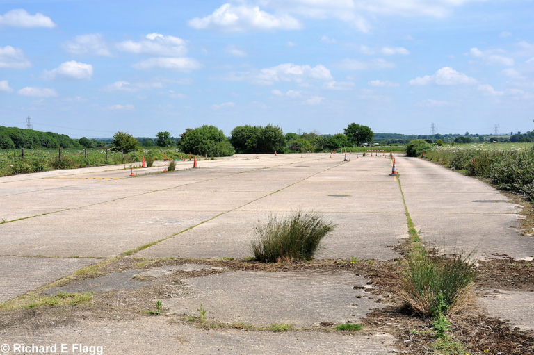
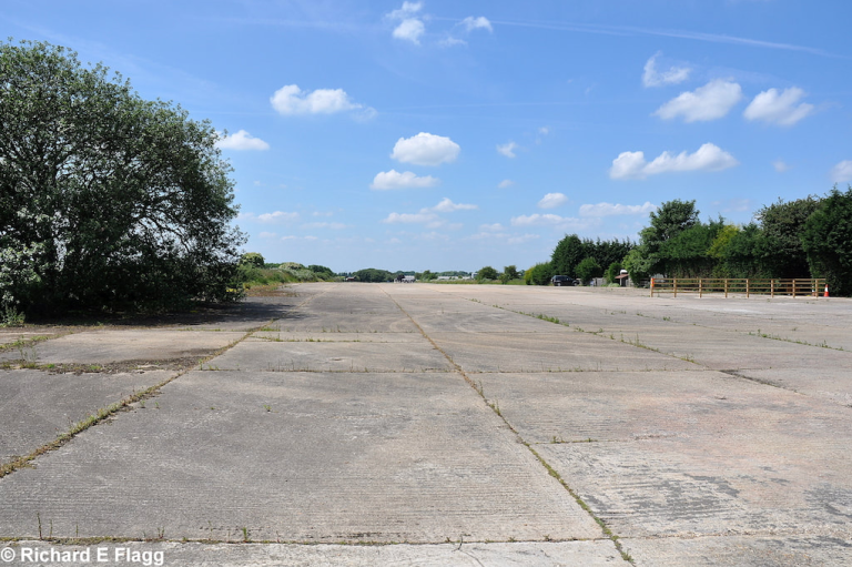
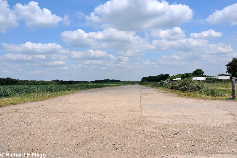
Runway 08:26 at Wing, looking east from the runway 17:35 intersection, 25 June 2010. © Richard Flagg
Runway 08:26 at Wing, looking west from the runway 17:35 intersection, 25 June 2010. © Richard Flagg
Runway 17:35 at Wing, looking north from the runway 08:26 intersection, 25 June 2010. © Richard Flagg
Runway 17:35 at Wing, looking south from the runway 08:26 intersection, 25 June 2010. © Richard Flagg
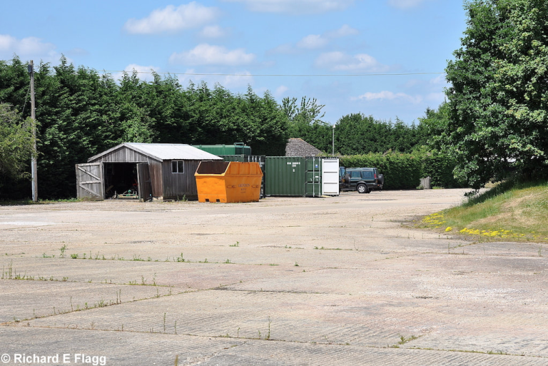
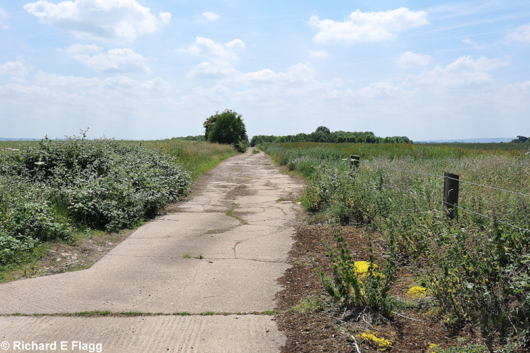
Taxiway at the east of the airfield, looking north from the runway 26 threshold, 25 June 2010. © Richard Flagg
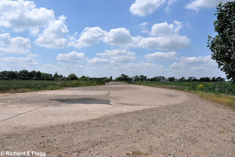
Taxiway at the south of the airfield, looking north-east, 25 June 2010. © Richard Flagg
Taxiway at the south of the airfield, looking south-west, 25 June 2010. © Richard Flagg
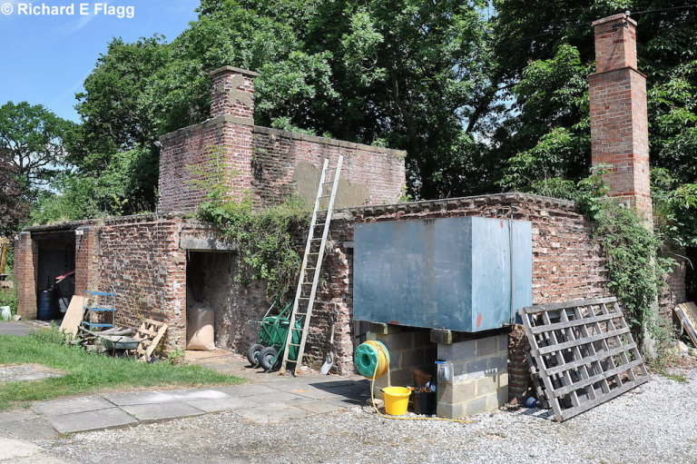
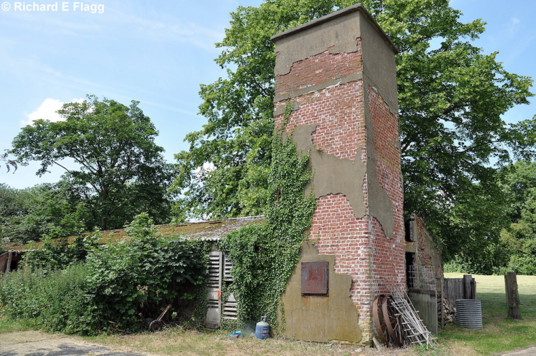
Decontamination Centre at Wing, 25 June 2010. © Richard Flagg
Sergeants showers and ablutions at Wing, 25 June 2010. © Richard Flagg
Gymnasium and Chancel at Wing, 25 June 2010. © Richard Flagg
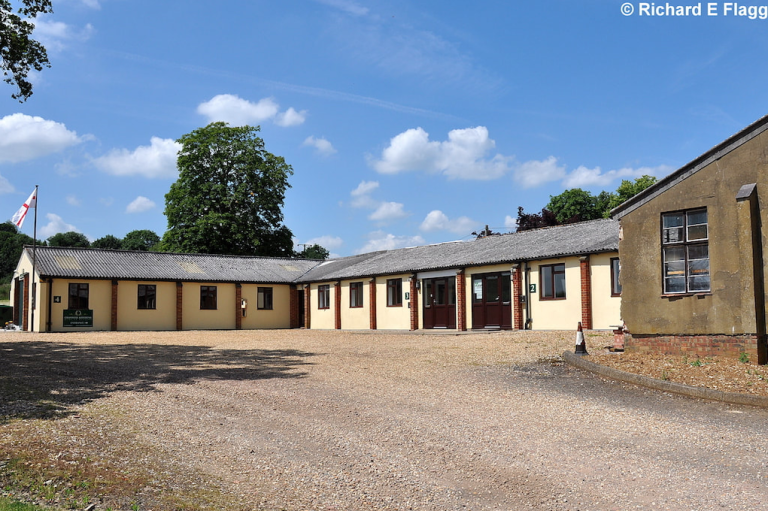
The Sergeants Mess at Wing, 25 June 2010. © Richard Flagg
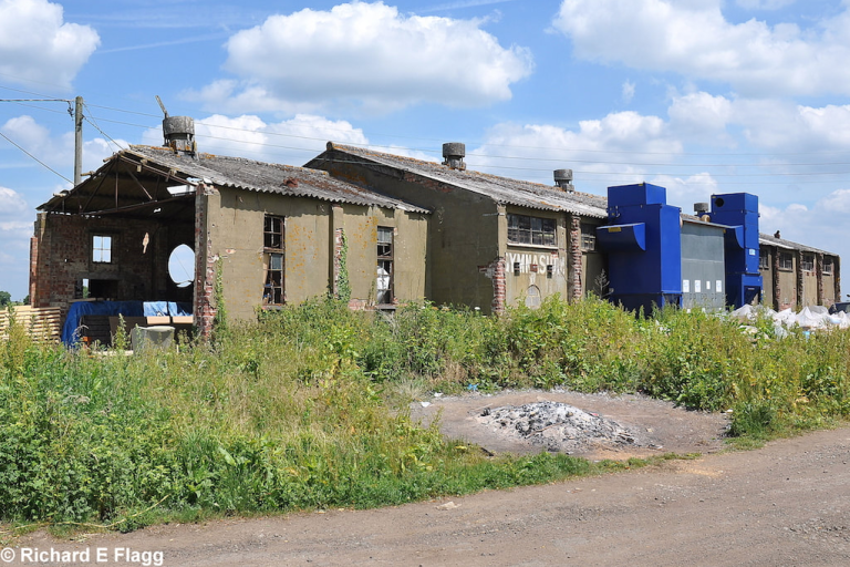
Main workshops at Wing, 25 June 2010. © Richard Flagg
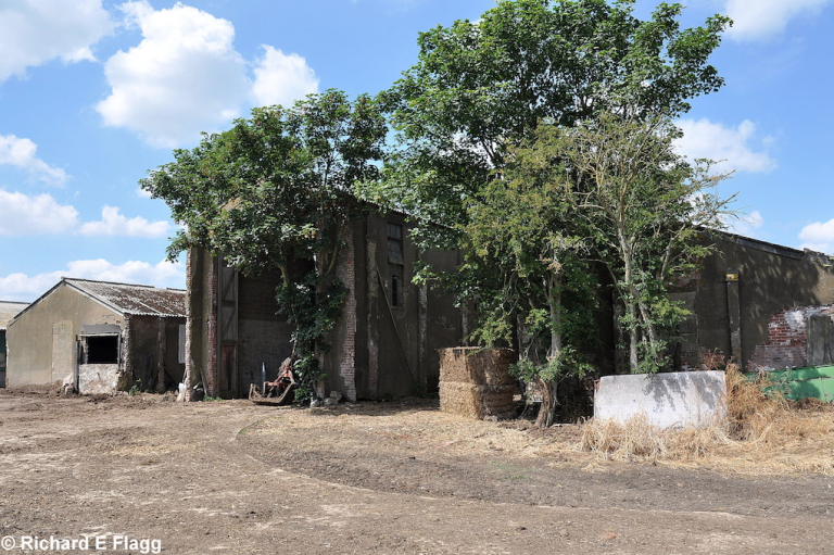
Main Stores at Wing, 25 June 2010. © Richard Flagg
Footage and information about Wing. Courtesy of Nick Ellins
Martin Baker at Wing. Courtesy of Nick Ellins
Using a Link Trainer at RAF Wing. Courtesy of Nick Ellins
Clip from a RAF film. Operation Exodus, the repatriation of POWs to Britain in the closing stages of the Second World War. RAF Wing played a major part in the operation. Courtesy of Nick Ellins
| Satellite(s): | |
| Decoy Airfield(s): |

