Turweston
| Also known as: | RAF Station, Turweston / RAF Turweston / Turweston Aerodrome / Turweston Solar Farm |
| County: | Buckinghamshire |
| Current Status: | Aviation / Farmland / Leisure activity / Solar farm |
| Date: | Opened October 1942 |
| Current Use: | Active |
| Used By: | RAF / Civil |
| Aircraft Roles: | General aviation / Trainer |
The following organisations are either based at, use and/or have at least potentially significant connections with the airfield (as at 01/09/2011):
- AKKI Aviation Services Ltd
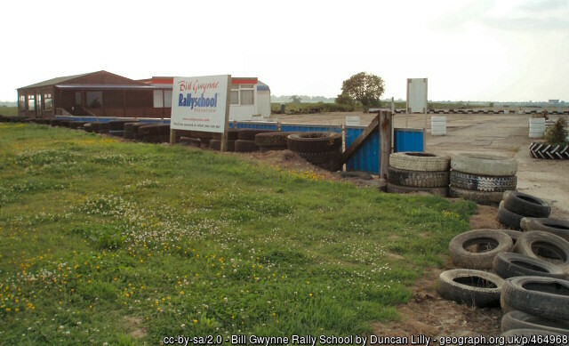
- Bill Gwynne Rallyschool International
- Biddlesden Parish Meeting
- Flying Pig Cafe
- Light Aircraft Association (LAA) - headquarters of organisation
- Mick Allen & Son Aircraft Resprays
- Turweston Flight Centre Ltd - operator
- Turweston Parish Council
Main unit(s) present:
- No 12 OTU
- No 13 OTU
- No 17 OTU
- No 307 FTU
- Aquila GC
- Turweston Flying Club
- Turweston Flying School
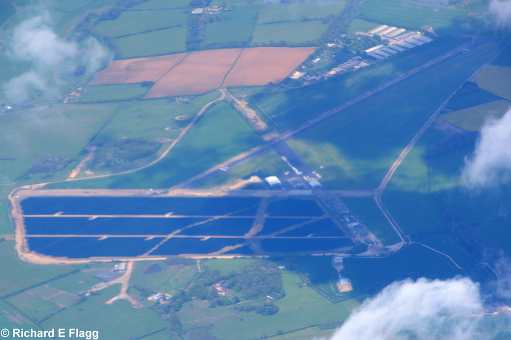
Aerial view of Turweston. © Richard Flagg
Part of a runway at Turweston, 12 June 2007.
Part of a runway at Turweston, 12 June 2007.
Remains of a runway at Turweston, 12 June 2007.
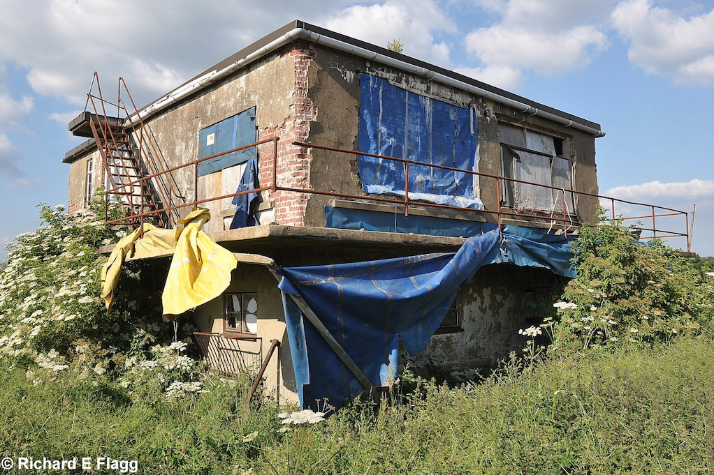
The control tower at Turweston, 25 June 2010. © Richard Flagg
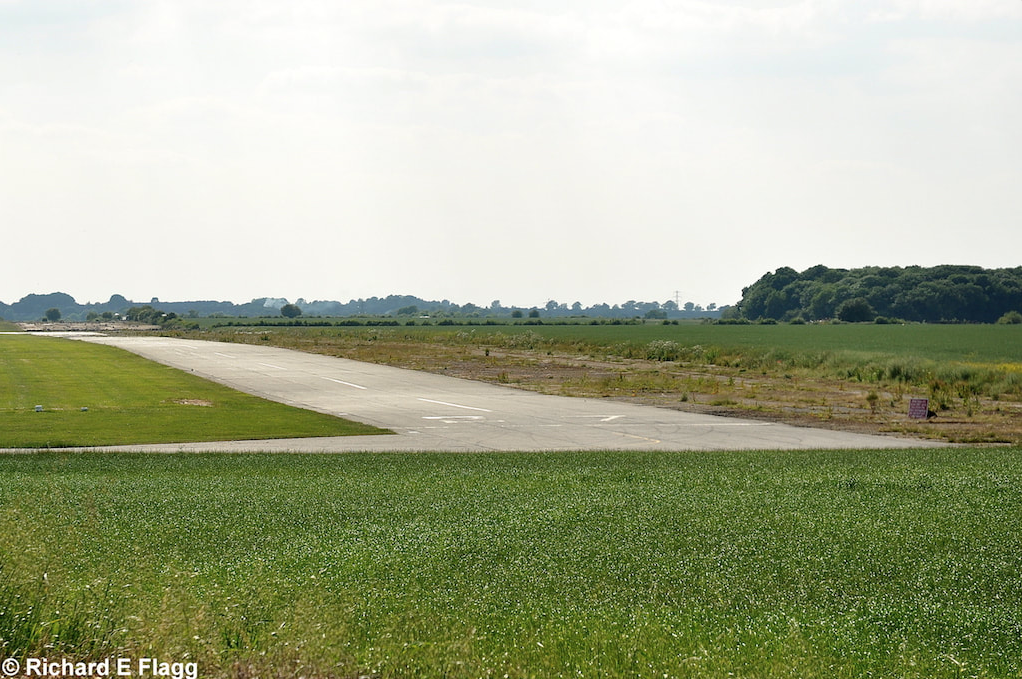
Runway 16:34, looking south-east at Turweston, 25 June 2010. © Richard Flagg
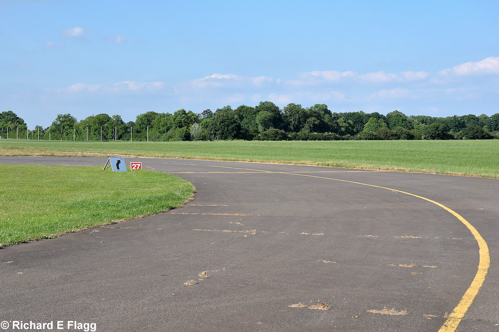
Looking west from the runway 27 threshold at Turweston, 25 June 2010. © Richard Flagg
Looking south-west from the runway 16:34 intersection at Thurweston, 25 June 2010. © Richard Flagg
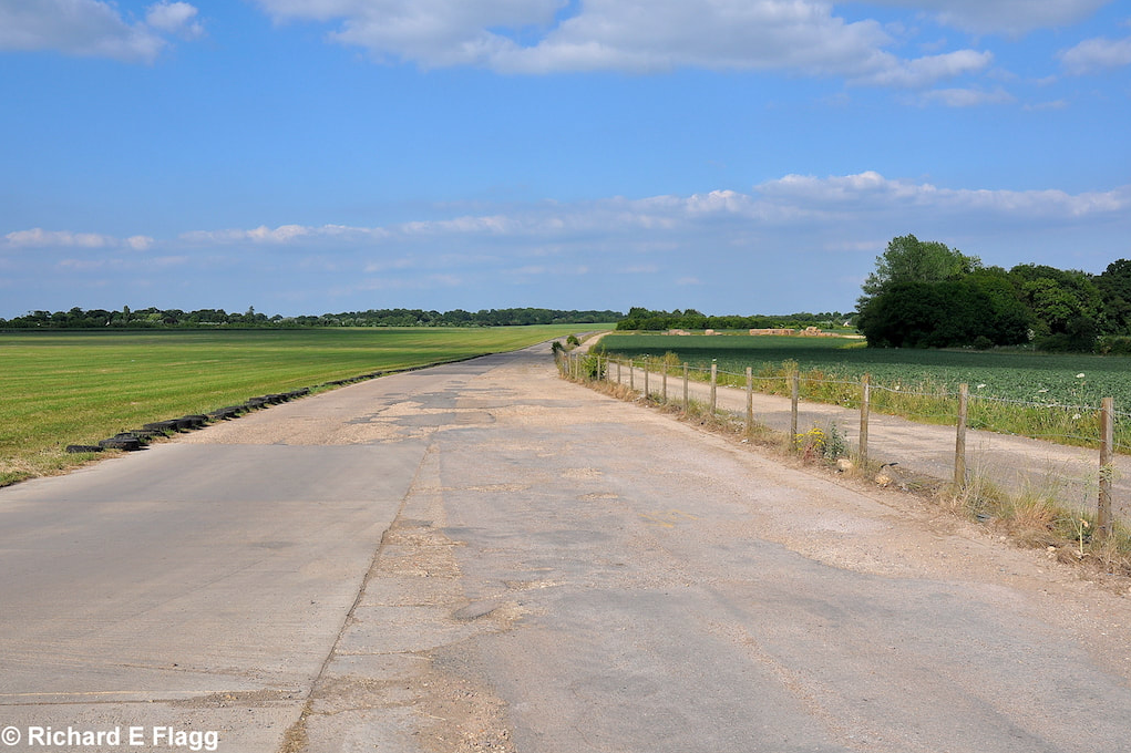
Runway 16:34, looking north-west at Thurweston, 25 June 2010. © Richard Flagg
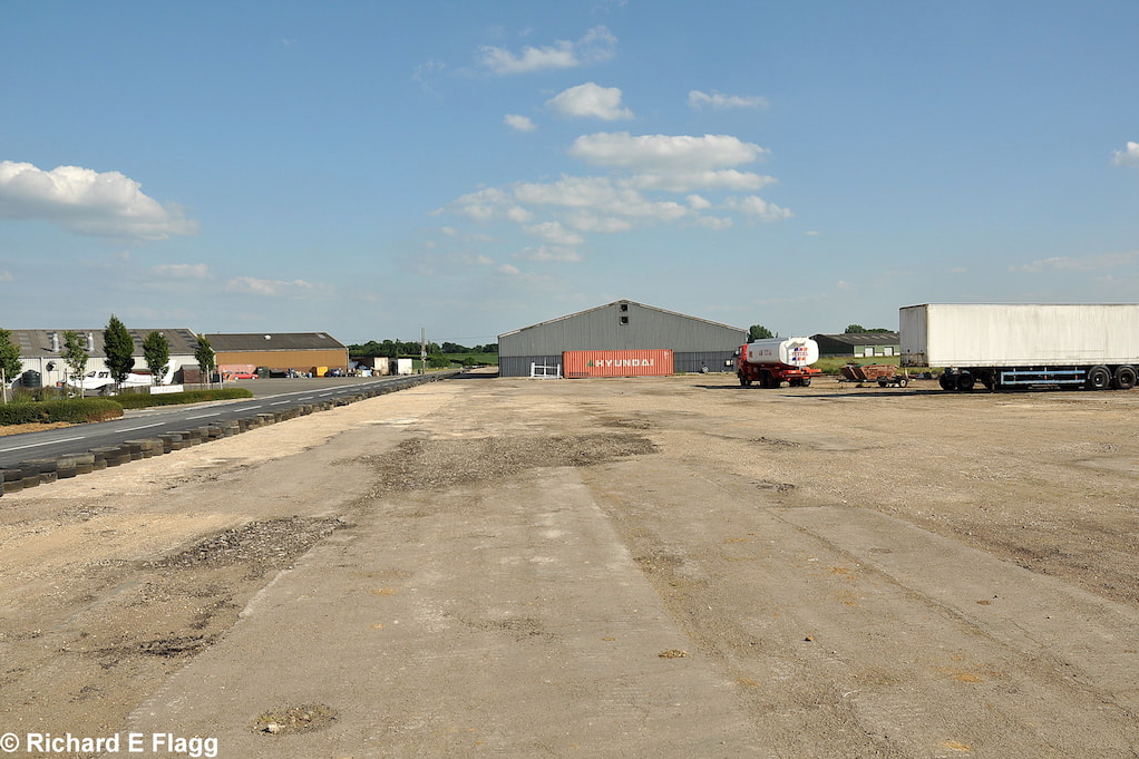
Taxiway at the south of the airfield, looking north towards the runway 28 threshold, 25 June 2010. © Richard Flagg
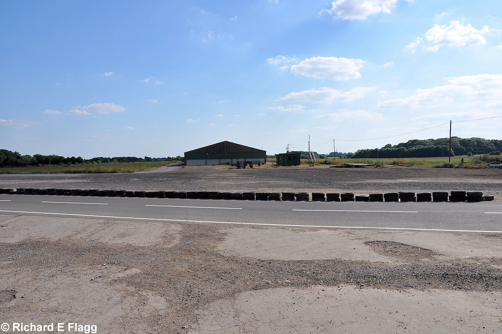
Taxiway at the south of the airfield, looking north-east towards the runway 34 threshold, 25 June 2010. © Richard Flagg
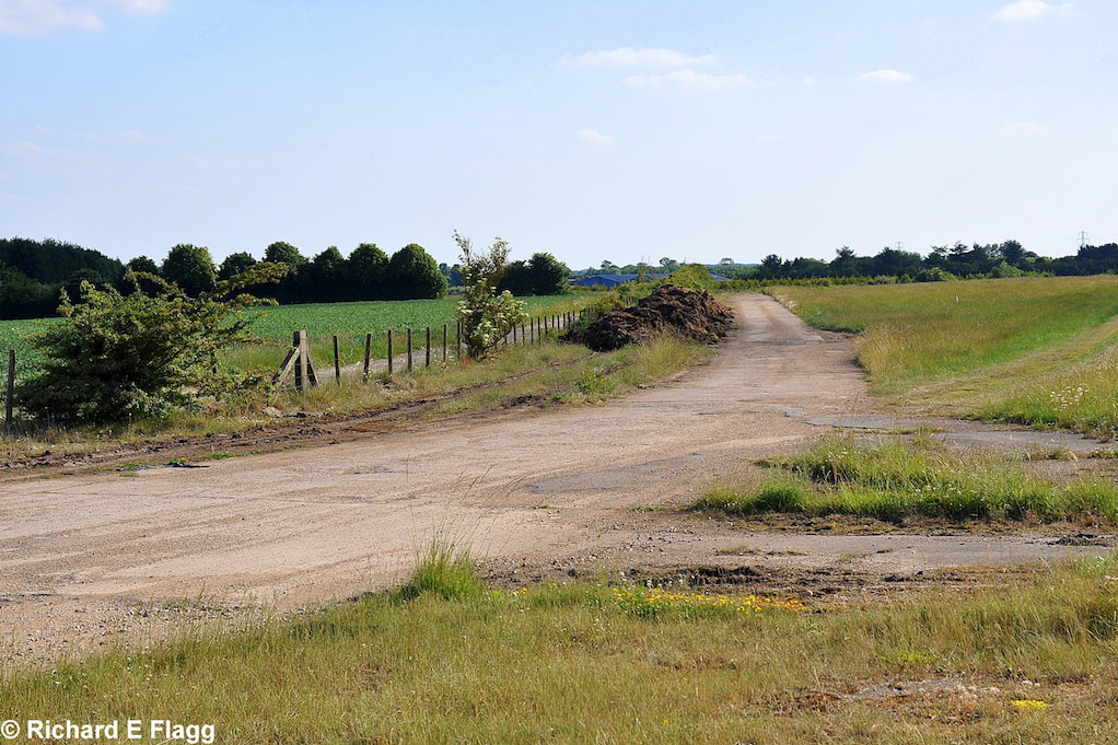
Taxiway at the south of the airfield, looking south-west from the runway 34 threshold, 25 June 2010. © Richard Flagg
Machine Gun Range (25 Yard) at Thurweston, 25 June 2010. © Richard Flagg
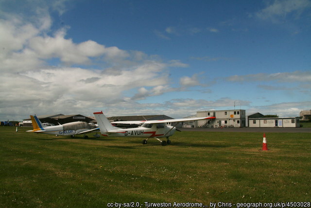
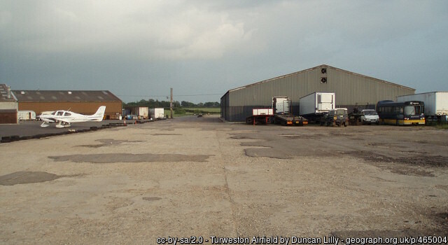
Aircraft at Turweston, 28 May 2015.
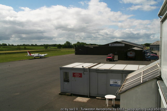
Buildings on a former runway at Turweston, 28 May 2015.
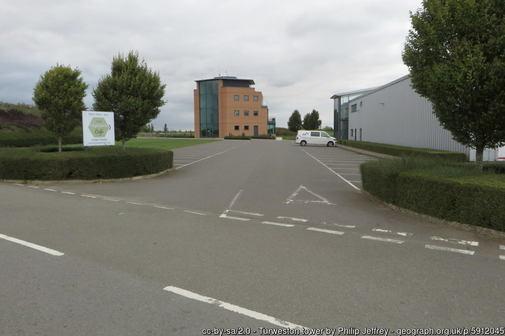
Turweston Tower, 16 September 2018.
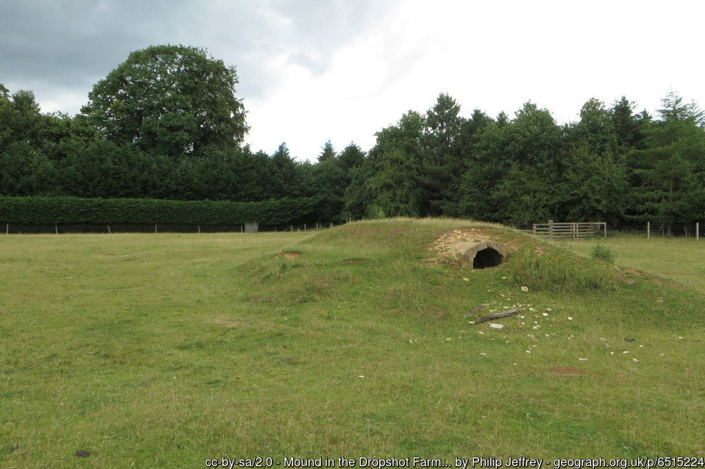
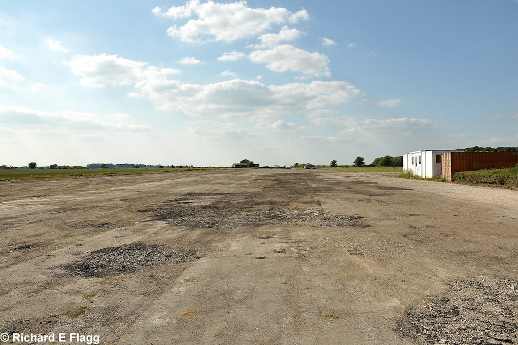
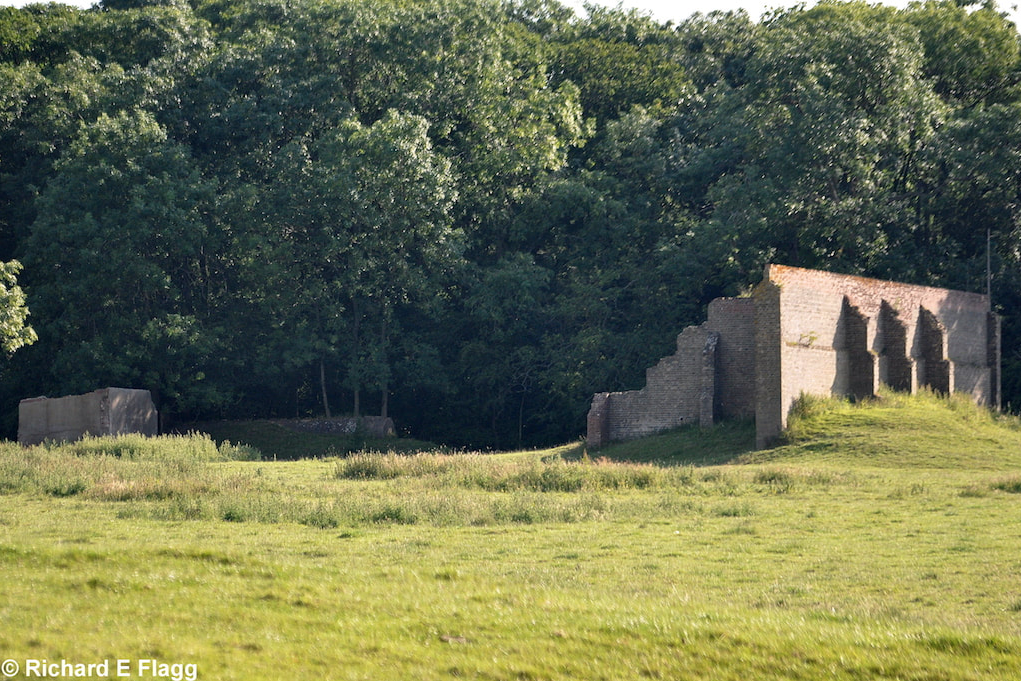
Remains of the airfield at Turweston, 20 June 2020.
| Parent(s)/HQ Airfield(s): |