
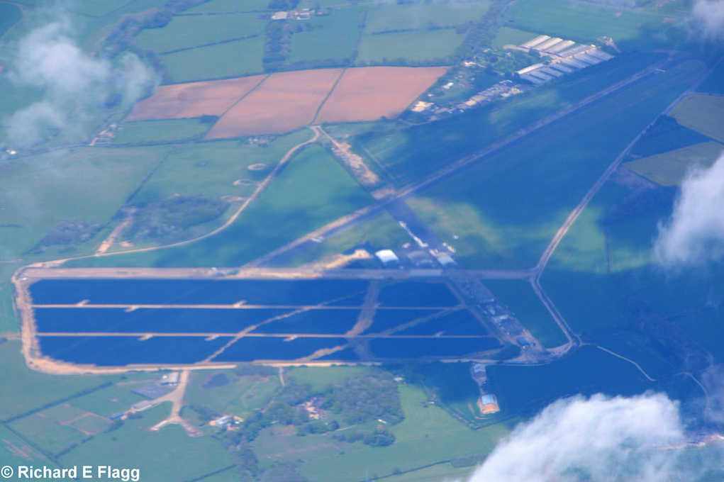
Aerial view of Turweston. © Richard Flagg
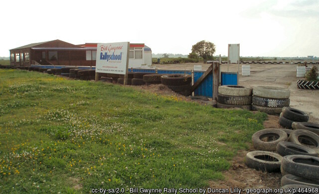
Part of a runway at Turweston, 12 June 2007.
Part of a runway at Turweston, 12 June 2007.
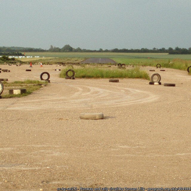
Remains of a runway at Turweston, 12 June 2007.
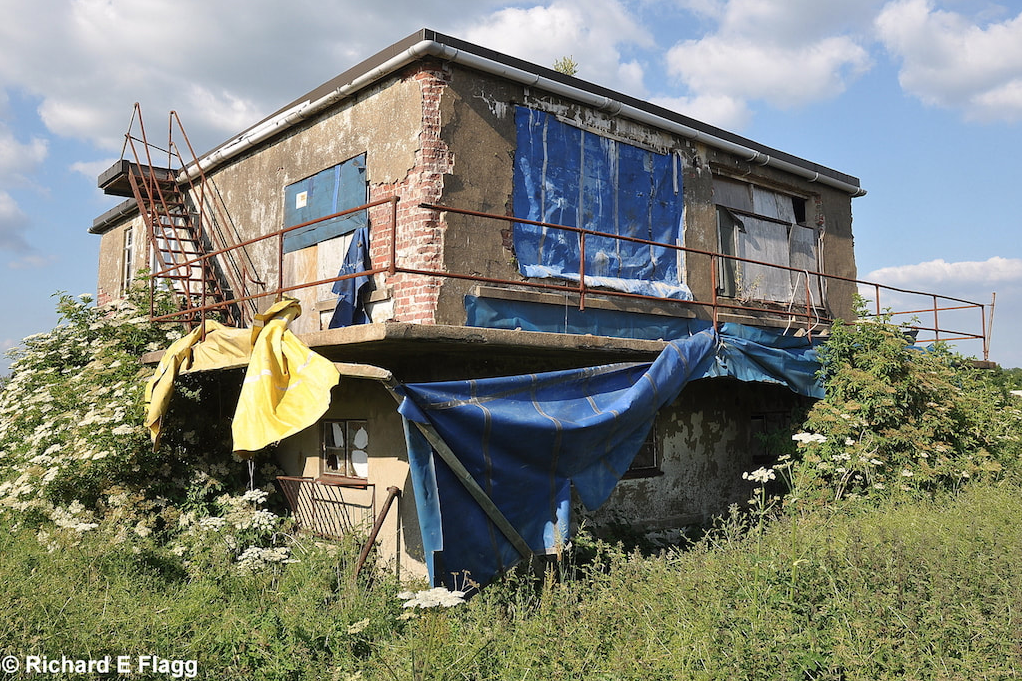
The control tower at Turweston, 25 June 2010. © Richard Flagg
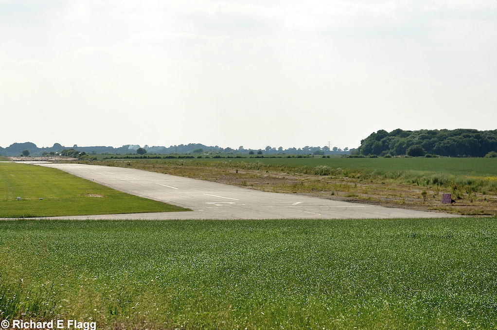
Runway 16:34, looking south-east at Turweston, 25 June 2010. © Richard Flagg
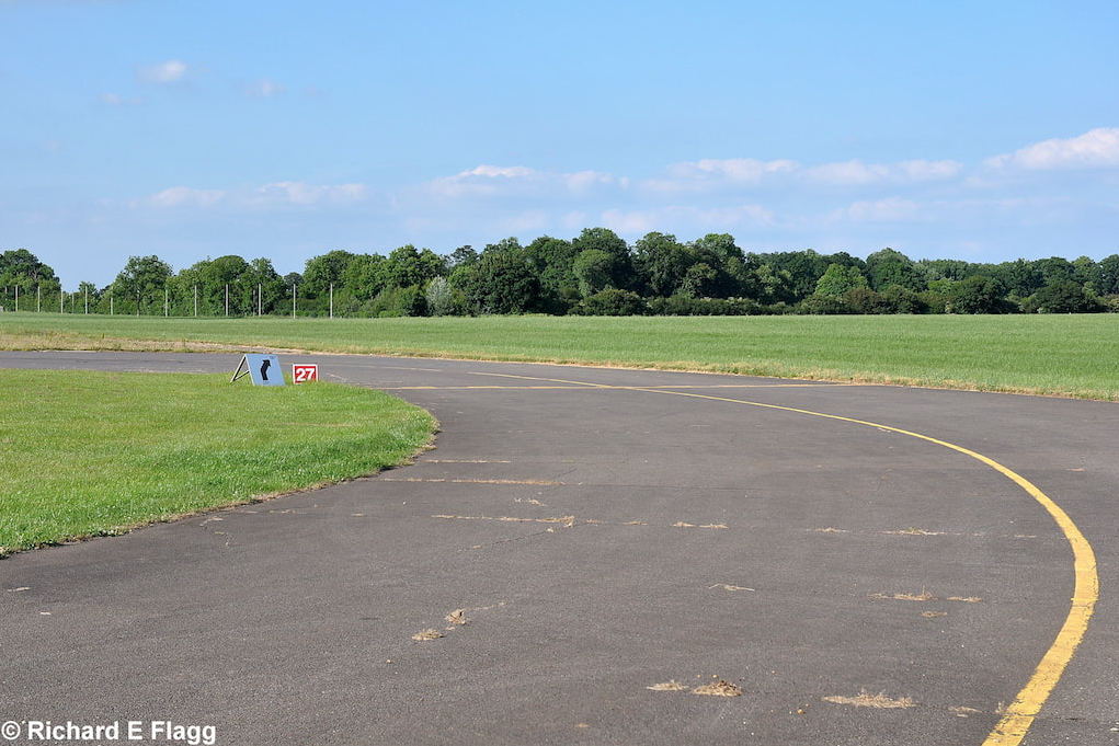
Looking west from the runway 27 threshold at Turweston, 25 June 2010. © Richard Flagg
Looking south-west from the runway 16:34 intersection at Thurweston, 25 June 2010. © Richard Flagg
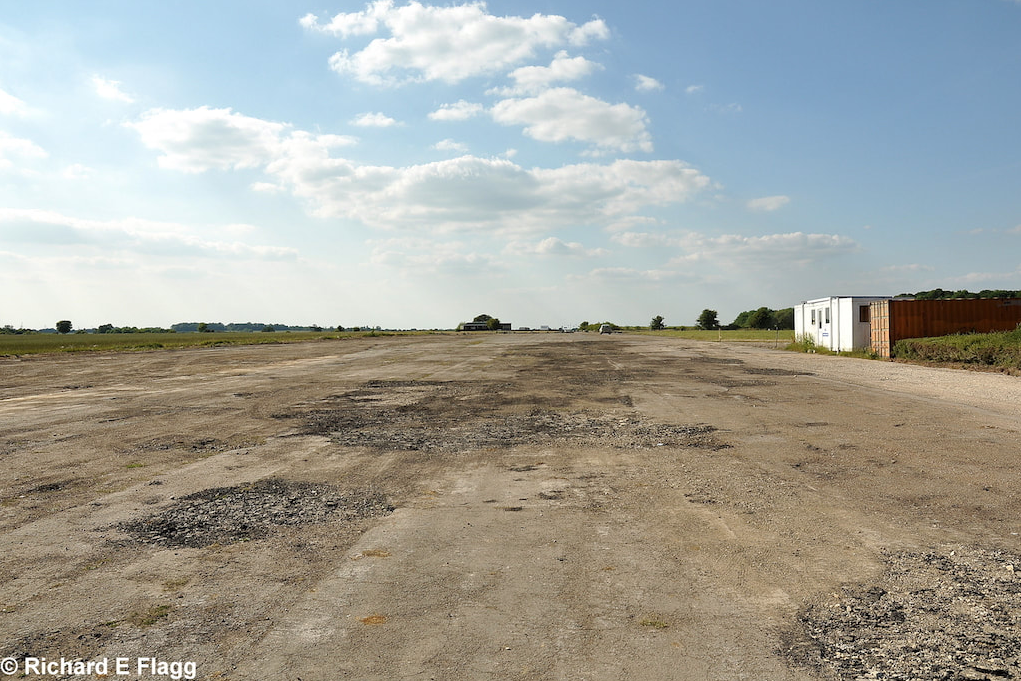
Runway 16:34, looking north-west at Thurweston, 25 June 2010. © Richard Flagg
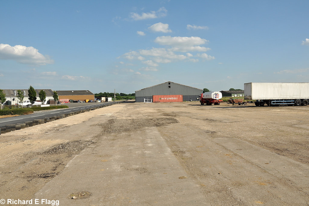
Taxiway at the south of the airfield, looking north towards the runway 28 threshold, 25 June 2010. © Richard Flagg
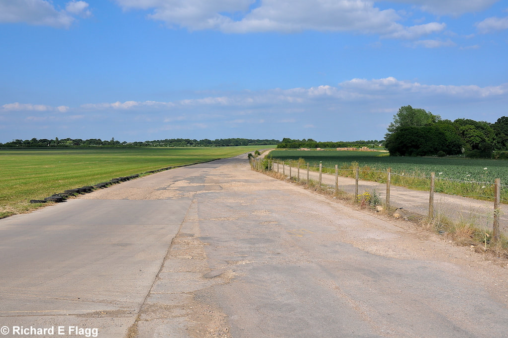
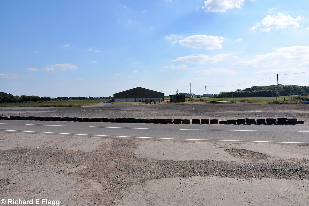
Taxiway at the south of the airfield, looking north-east towards the runway 34 threshold, 25 June 2010. © Richard Flagg
Taxiway at the south of the airfield, looking south-west from the runway 34 threshold, 25 June 2010. © Richard Flagg
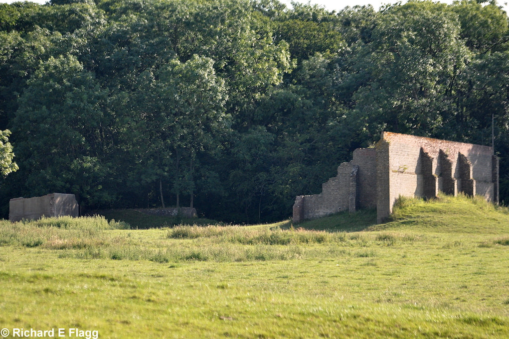
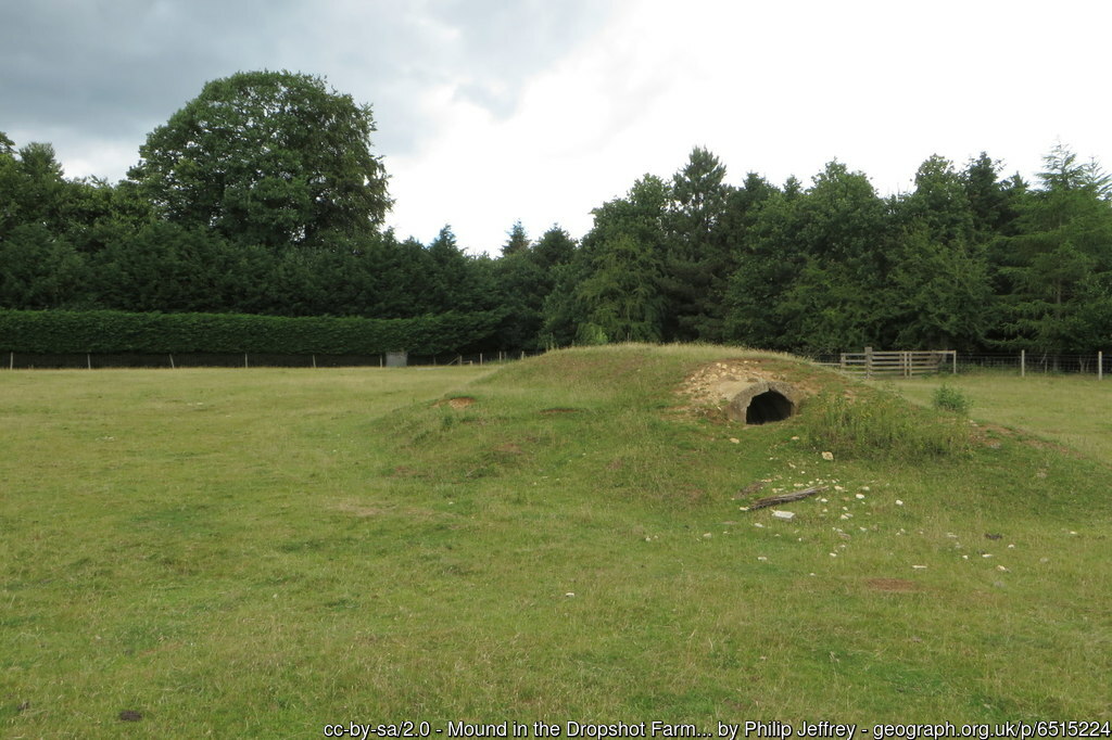
Machine Gun Range (25 Yard) at Thurweston, 25 June 2010. © Richard Flagg
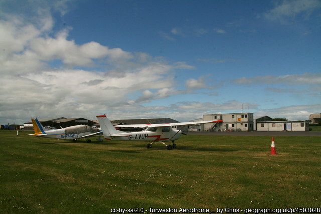
Aircraft at Turweston, 28 May 2015.
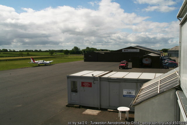
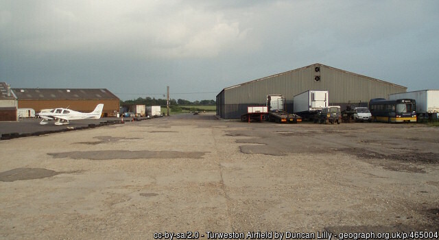
Buildings on a former runway at Turweston, 28 May 2015.
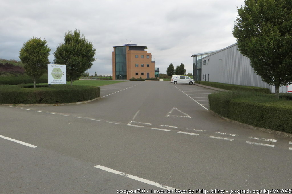
Turweston Tower, 16 September 2018.
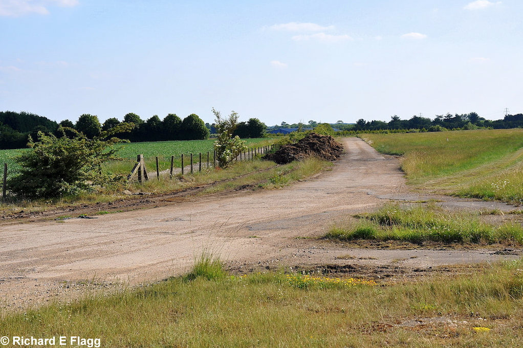
Remains of the airfield at Turweston, 20 June 2020.
