Airfield search
Tempsford

| Also known as: | No 115 Storage Sub-Site / RAF Station, Tempsford / RAF Tempsford / Tempsford Aerodrome |
| County: | Bedfordshire |
| Current Status: | Farmland |
| Date: | 1941 - 1947 |
| Current Use: | Disused |
| Used By: | RAF |
| Landing Surface Type(s): | Paved |
| Prominent People: | Francois Mitterand / Percy Pickard / Violette Szabo |
| Aircraft Role(s): | Bomber / Espionage support / Transport |
The following organisations are either based at, use and/or have at least potentially significant connections with the airfield (as at 01/07/2013):
- BSG Property Services Ltd
- Everton Parish Council
- Lysander Scaffolding Ltd
- St Peter’s Church, Tempsford
- Tempsford Museum & Archives
- Tempsford Parish Council
Notable Past Associated Organisations:
- Bedfordshire Police – used a hangar floor as a skid pan to train drivers between the mid-1960s and 2012
- Falcon Motor Club
- Ivel Model Aircraft Club
The following alternative information/mass media sources have at least potentially significant connections with the airfield (as at 31/07/2017):
- RAF Tempsford 138 & 161 Squadrons SOE | Facebook
- Welcome To Tempsford.org
Main unit(s) present:
-
No 1 Transport Aircraft Modification Unit
-
No 11 OTU
-
No 48 Gp Comms Flight
-
No 53 Sqn
-
No 107 (Special Duties) Wing
-
No 109 Sqn
-
No 138 Sqn
-
No 149 Sqn
-
No 161 Sqn
-
No 273 MU
-
No 426 Sqn
- No 617 Sqn
- No 1418 Flight
-
No 1575 (Special Duties) Flight
-
No 1586 Special Duties Flight
- No 2722 Sqn RAF Regiment
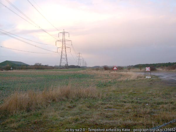
Looking across Tempsford, 9 March 2006.
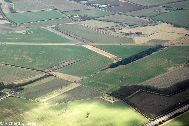
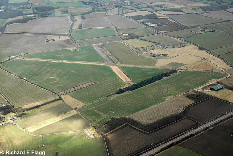
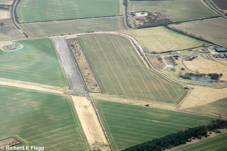
Aerial View of Tempsford, 14 March 2009. © Richard Flagg
Aerial View of Tempsford, 14 March 2009. © Richard Flagg
Aerial View of Tempsford, 14 March 2009. © Richard Flagg
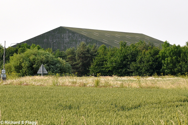
B1 Type Aircraft Shed at Tempsford, 26 June 2010. © Richard Flagg
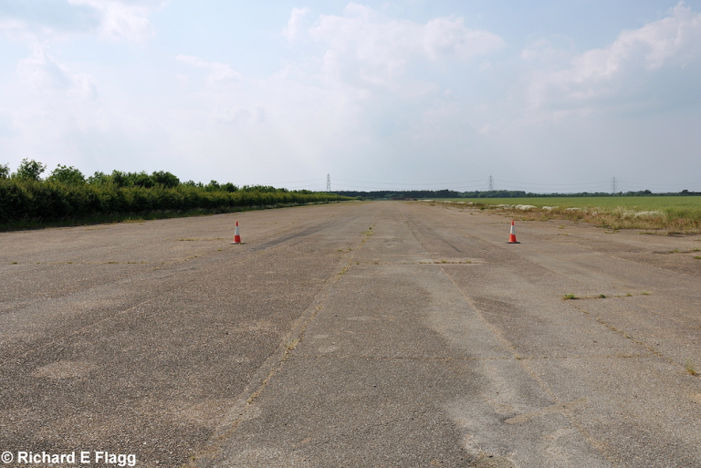
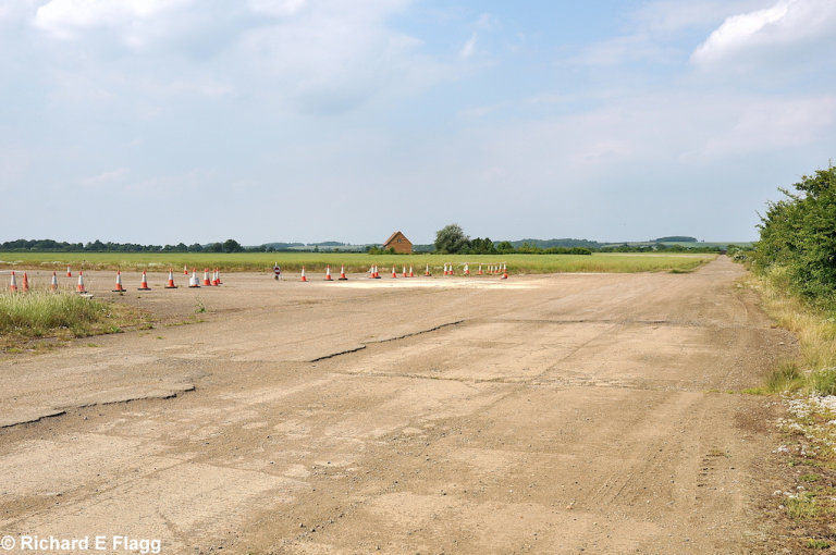
Runway 13:31. Looking north west from the runway 31 threshold, 26 June 2010. © Richard Flagg
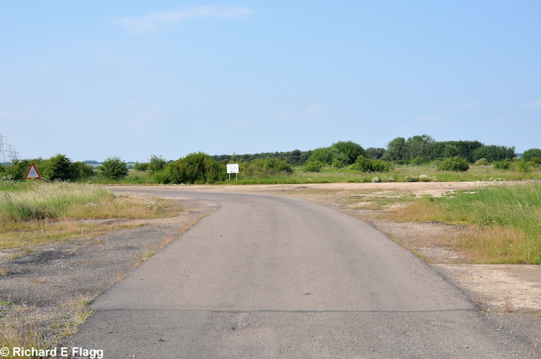
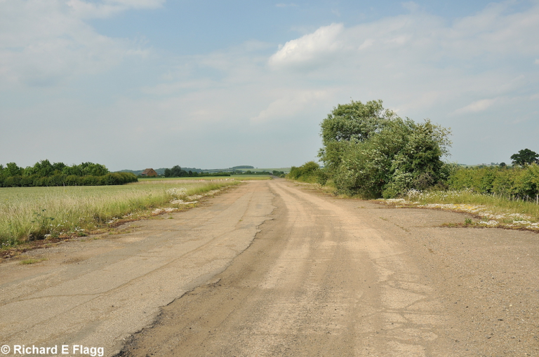
Taxiway at the south west corner of the airfield. Looking north towards the runway 07 threshold from Tempsford Road, 26 June 2010. © Richard Flagg
Taxiway at the south east of the airfield, looking north, 26 June 2010. © Richard Flagg
Taxiway at the east of the airfield. Looking north at the runway 31 threshold, 26 June 2010. © Richard Flagg
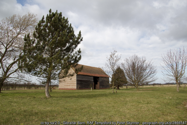
Gibraltar Barn, near the end of one of the runways at Tempsford, 20 March 2012.
A documentary on the Special Operations Executive (SOE) featuring footage of Tempsford, from around 11:35mins. Courtesy of Joe Doakes
Footage of Tempsford, c. October 2016. Courtesy of Paul Bleakley
