
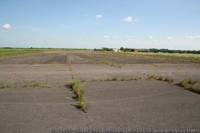
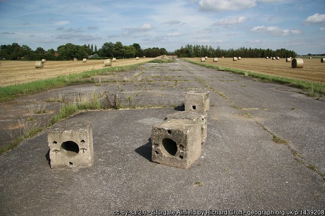
Remains of a runway at Sturgate, 4 June 2007.
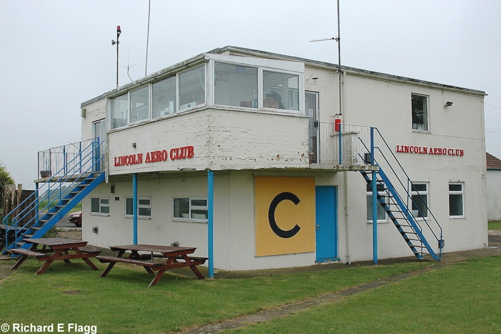
Control tower at Sturgate, 27 May 2008. © Richard Flagg
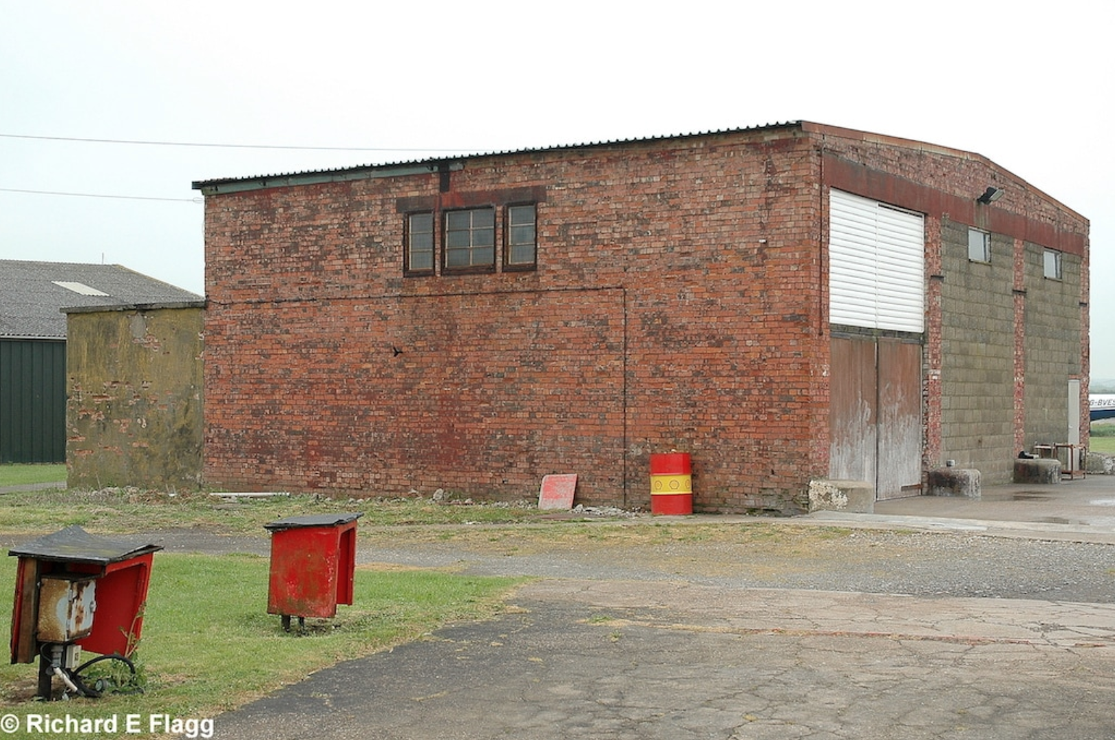
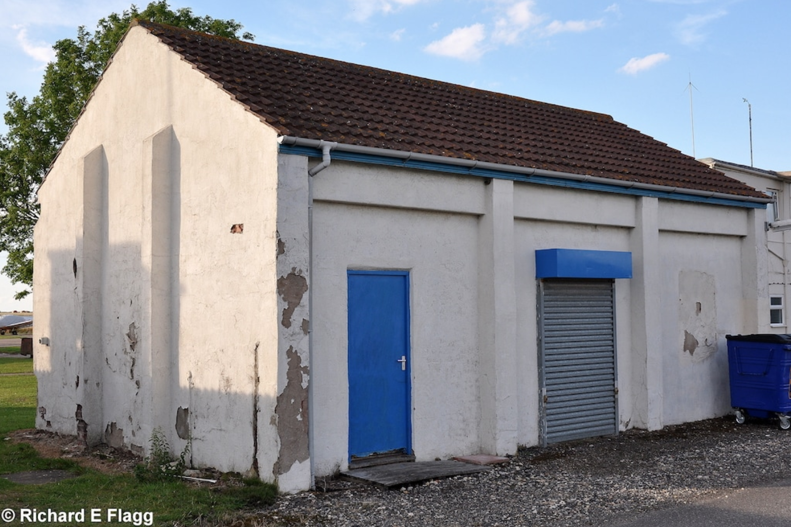
Fire Station (USAF) at Sturgate, 27 May 2008. © Richard Flagg
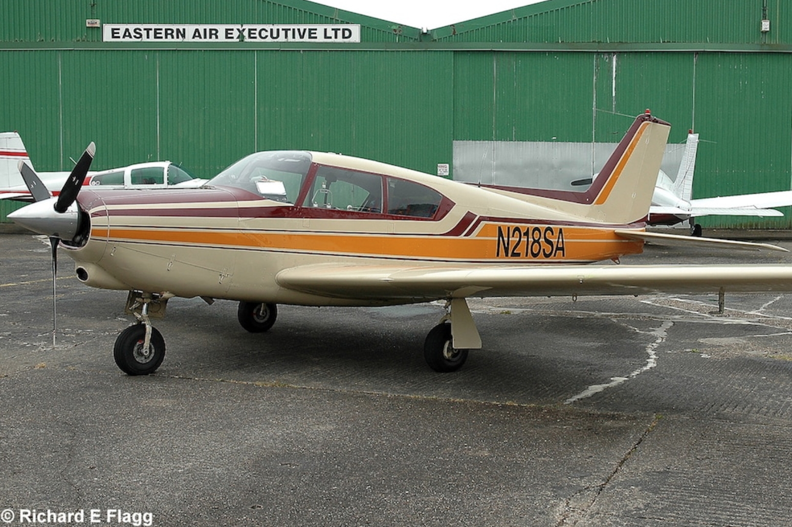
A Piper PA-24-250 Comanche at Sturgate, 27 May 2008. © Richard Flagg
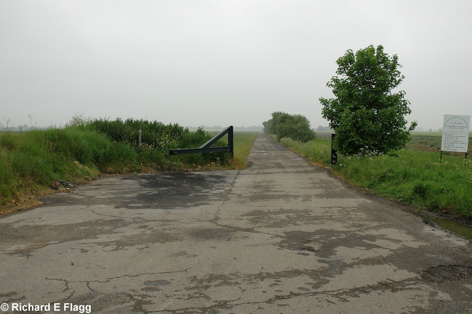
Looking north from the runway 02 threshold, 27 May 2008. © Richard Flagg
Looking south east from the runway 14 threshold, 27 May 2008. © Richard Flagg
Part of the perimeter track at Sturgate, 11 August 2009.
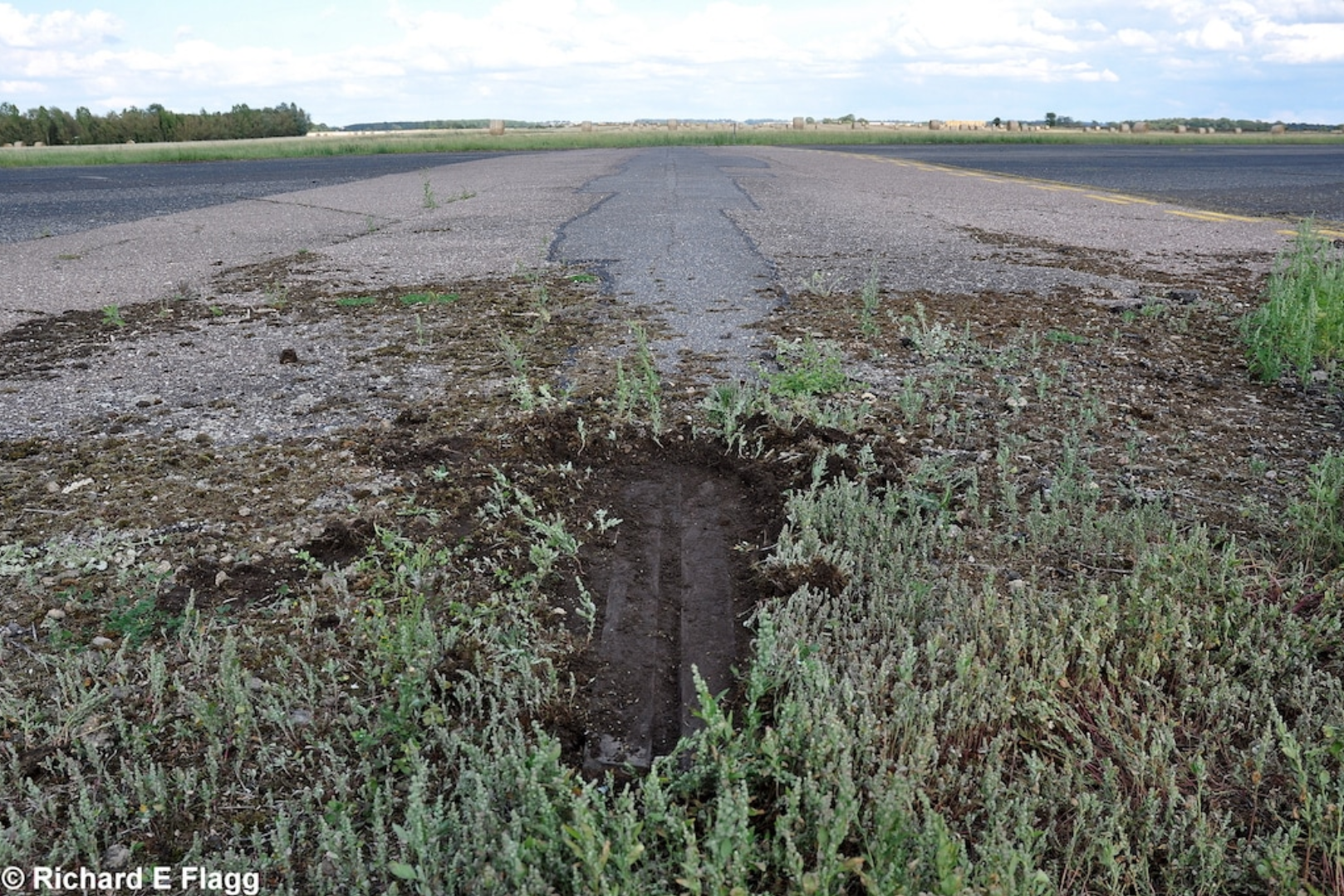
A FIDO Installation Rail at Sturgate, 25 August 2011. © Richard Flagg
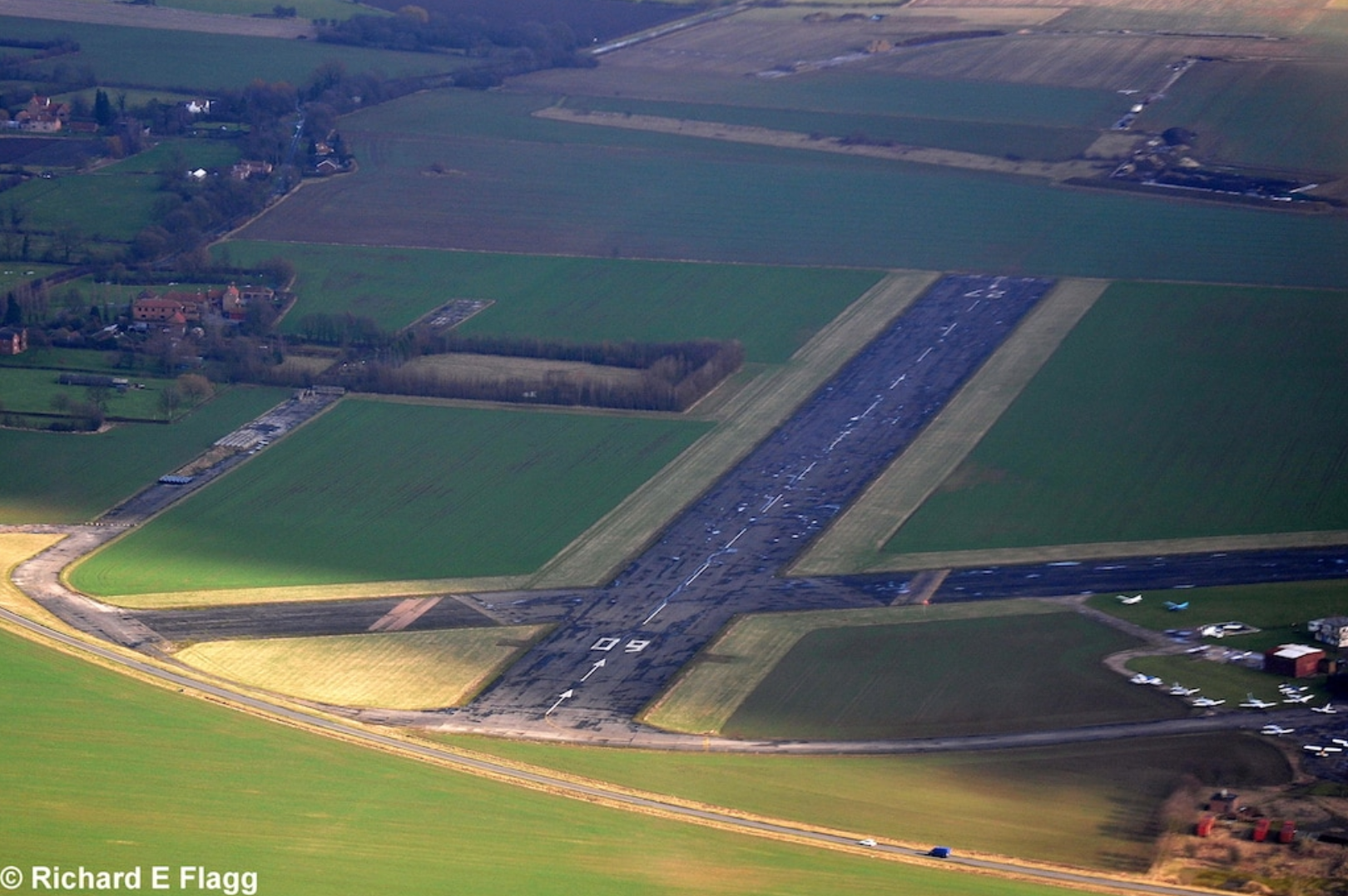
Aerial view of Sturgate, 12 February 2011. © Richard Flagg
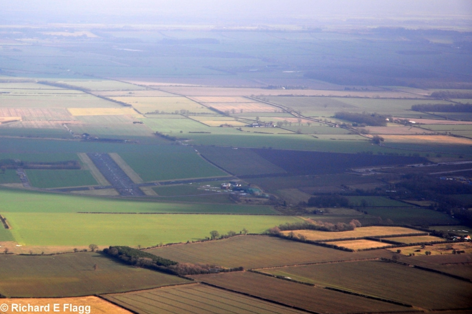
Aerial view of Sturgate, 12 February 2011. © Richard Flagg
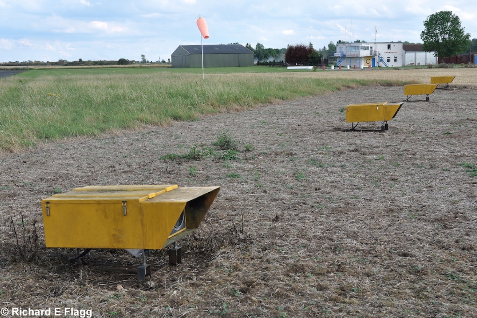
Precision Approach Path Indicator Lights at Sturgate, 25 August 2011. © Richard Flagg
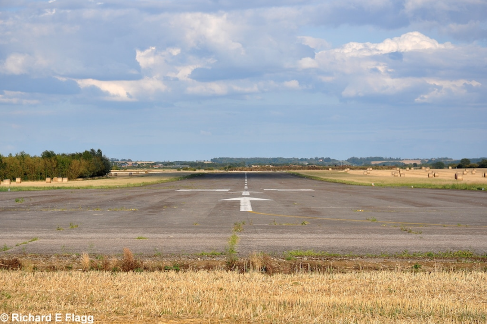
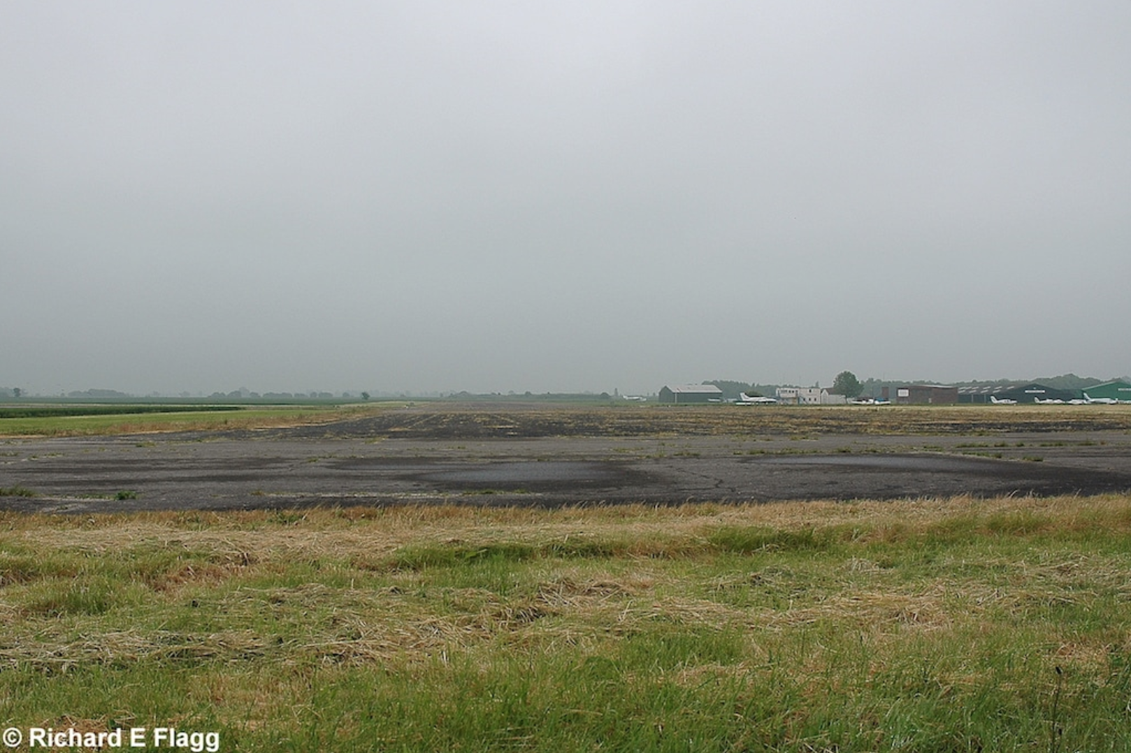
Looking east from the runway 08 threshold, 25 August 2011. © Richard Flagg
Night flying equipment store at Sturgate, 25 August 2011. © Richard Flagg
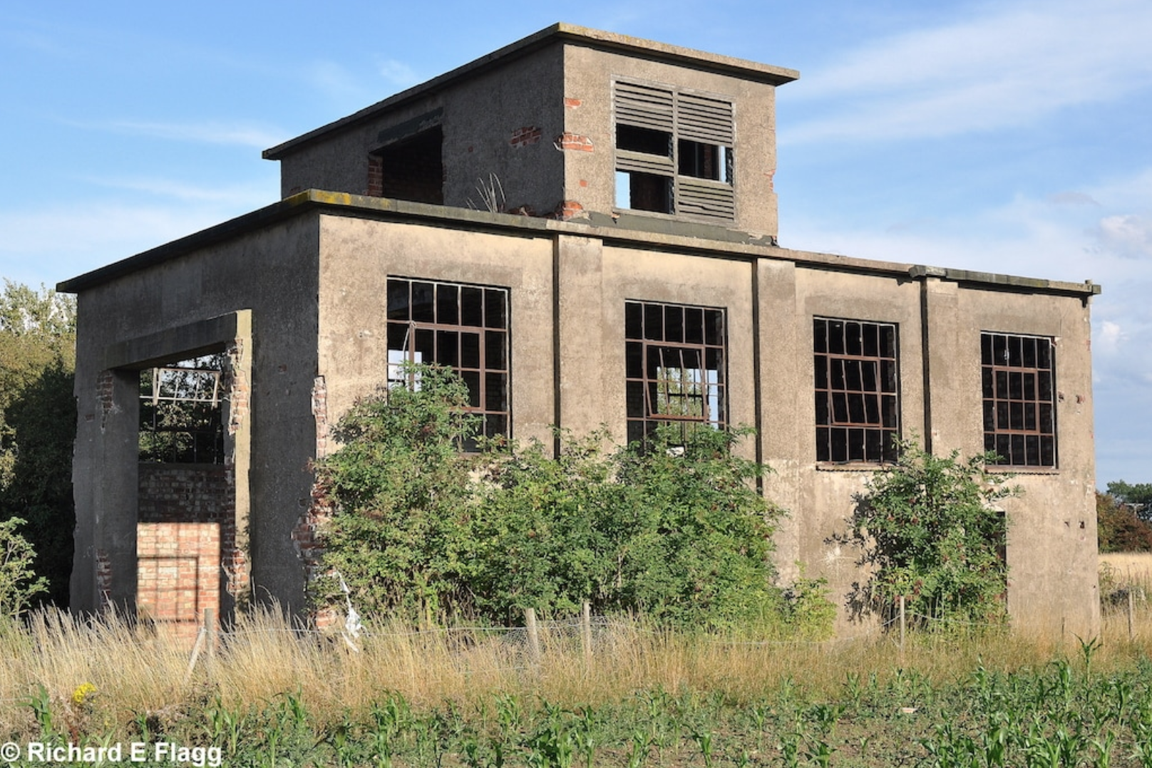
Remains of a building at Sturgate, 25 August 2011. © Richard Flagg
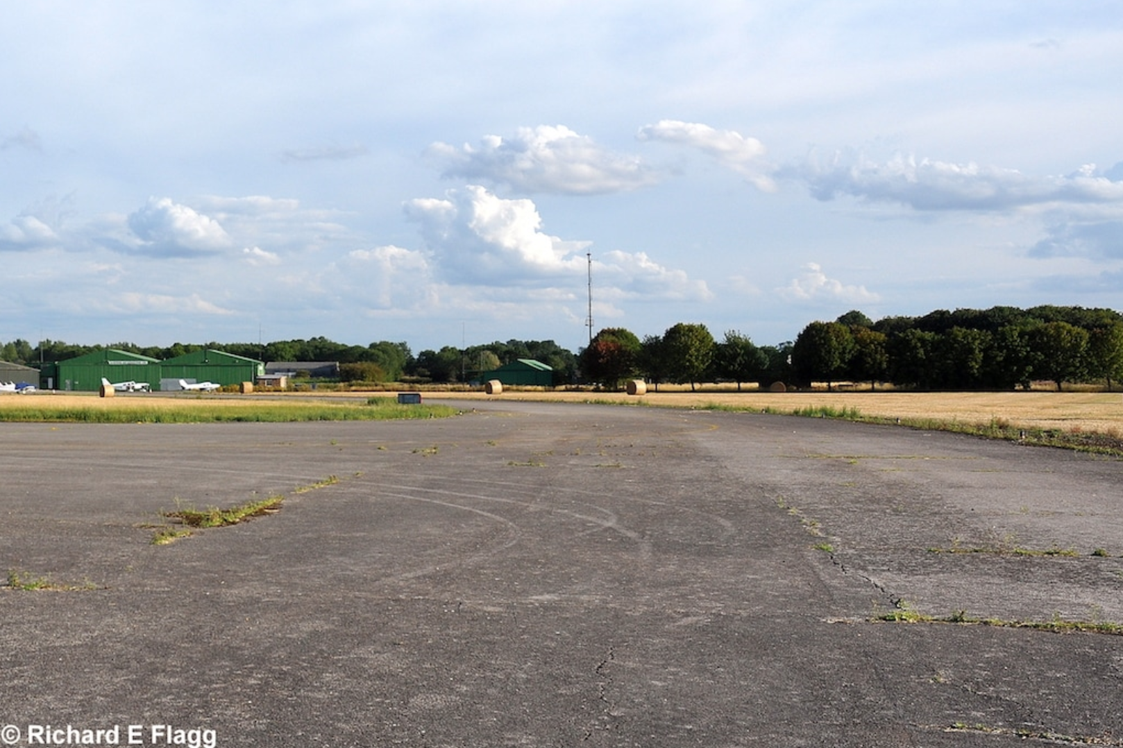
Taxiway at the west of the airfield, looking south from the runway 08 threshold, 25 August 2011. © Richard Flagg
