Snaith (Pollington)
| Also known as: | Pollington Industrial Estate / Pollington Solar Farm / RAF Snaith / RAF Station, Snaith / Snaith Aerodrome |
| County: | East Riding of Yorkshire |
| Current Status: | Farmland / Industry / Museum / Public road / Solar farm |
| Date: | June 1941 - January 1947 |
| Current Use: | Disused |
| Used By: | RAF |
| Landing Surface Types: | Paved |
| Aircraft Roles: | Bomber (main role) / Experimental / Fighter / Trainer |
N.B. - Snaith is situated across the two counties of East Riding of Yorkshire and North Yorkshire but primarily geographically resides in East Riding of Yorkshire.
The following organisations are either based at, use and/or have at least potentially significant connections with the airfield (as at 01/09/2023):
- 51 Squadron
- Gaskin V S LTD
- Gowdall Parish Council
- Heck Parish Council
- Pollington Parish Council
- RAF Snaith Museum
- Snaith & Cowick Town Council - name only
- Snaith Library
The following alternative information/mass media sources have at least potentially significant connections with the airfield (as at 30/11/2018):
- Pollington On The Aire & Calder Canal
Main unit(s) present:
- No 17 ACHU
- No 20 OTU
- No 51 Sqn
- No 150 Sqn
- No 266 Sqn
- No 578 Sqn
- No 809 Defence Sqn
- No 1508 Acclimatisation Flight
- No 1508 (RAT) Flight
- No 1516 BAT Flight
- No 1516 RAT Flight
- No 1552 RAT Flight No 1 Section
- No 1552 RAT Flight No 8 Section
- No 2835 Sqn RAF Regiment
- No 2955 Sqn RAF Regiment
- Airborne Forces Experimental Establishment
- Radar Flight
- Station Flight, Snaith

The interior of the control tower at Snaith during the Second World War. Courtesy of New Zealand Bomber Command Association
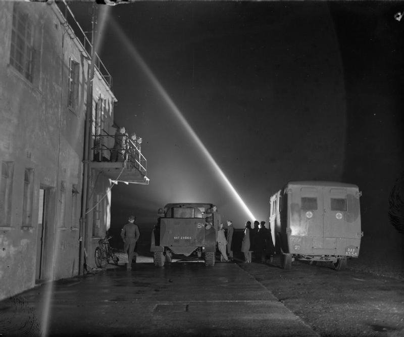
The control tower at Snaith during the Second World War. Courtesy of New Zealand Bomber Command Association

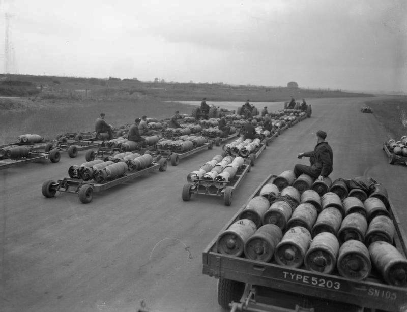
Photograph from Snaith during the Second World War. Courtesy of New Zealand Bomber Command Association
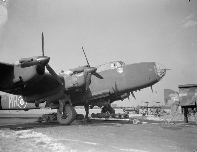
A Handley Page Halifax at Snaith during the Second World War. Courtesy of New Zealand Bomber Command Association
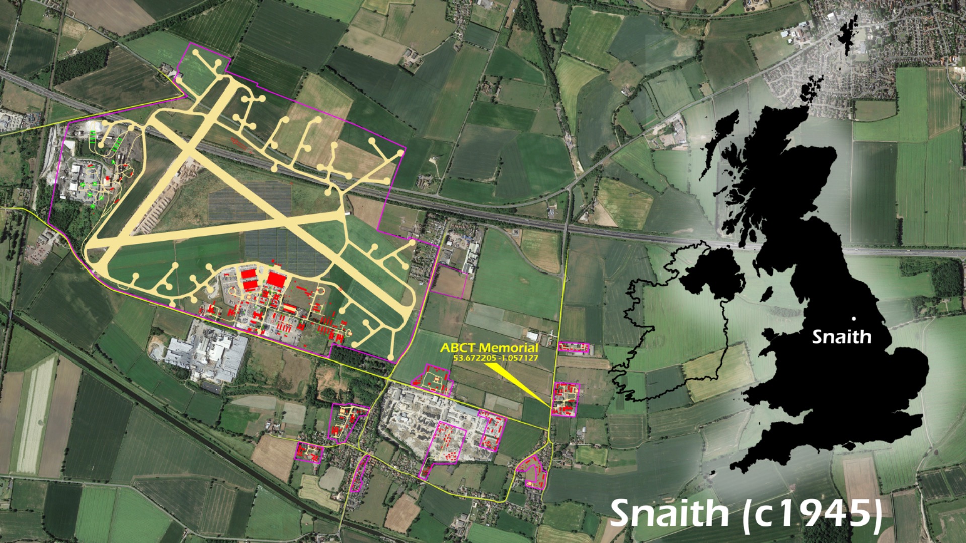
| Decoy Airfield(s): |
