Beaulieu III
| Also known as: | Beaulieu Heath / Hatchet Moor / RAF Beaulieu / RAF Station, Beaulieu / USAAF Station 408 |
| County: | Hampshire |
| Current Status: | Leisure activity / Open land |
| Date: | 8 August 1942 - 10 November 1959 |
| Current Use: | Disused |
| Used By: | RAF / RAF (Czech) / RCAF / RNZAF / USAAF |
| Landing Surface Types: | Paved |
| Aircraft Roles: | Air observation post / Bomber (main role) / Experimental (main role) / Fighter (main role) / Maritime patrol (main role) / Trainer |
The following organisations are either based at, use and/or have at least potentially significant connections with the airfield (as at 01/09/2011):
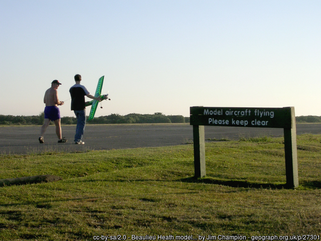
- Beaulieu Model Flying Committee (BMFC)
- Beaulieu Parish Council - name only
- Crookham Contest Modellers
- East Boldre Parish Council
- Forestry Commission
- Lymington Amateur Rowing Club - bought a Nissen hut from airfield in 1950s, building still there
- Southampton Model Aeroplane Club
The following alternative information/mass media sources have at least potentially significant connections with the airfield (as at 30/11/2018):
- East Boldre Community Website
Main unit(s) present:
- No 1 (Coastal) OTU
- No 53 Sqn
- No 88 Sqn
- No 146 Airfield
- No 158 Sqn
- No 224 Sqn
- No 257 Sqn
- No 263 Sqn
- No 311 Sqn
- 323rd BG
- 365th FG
- 386th FS
- 387th FS
- 388th FS
- No 405 Sqn
- 453rd BS
- 454th BS
- 455th BS
- 456th BS
- No 486 Sqn
- No 657 Sqn
- No 1901 AOP Flight
- No 2741 Sqn RAF Regiment
- No 2762 Sqn RAF Regiment
- No 2854 Sqn RAF Regiment
- Airborne Forces Experimental Establishment
- Station Flight, Beaulieu
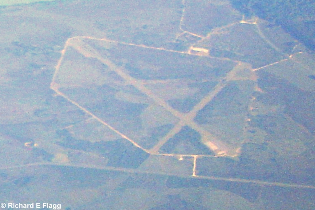
Aerial view of Beaulieu III, 22 June 2005. © Richard Flagg
A Consolidated Liberator flying from Beaulieu, 1943. Courtesy of Zoran Petek
USAAF Republic P-47 Thunderbolts at Beaulieu in 1944. Courtesy of Southampton on Video
The 365th Fighter Group at Beaulieu on D-Day. Courtesy of DDay-Overlord
Aerial footage of Beaulieu. Courtesy of Aaron Cocker
| Associated Airfield(s): |
