
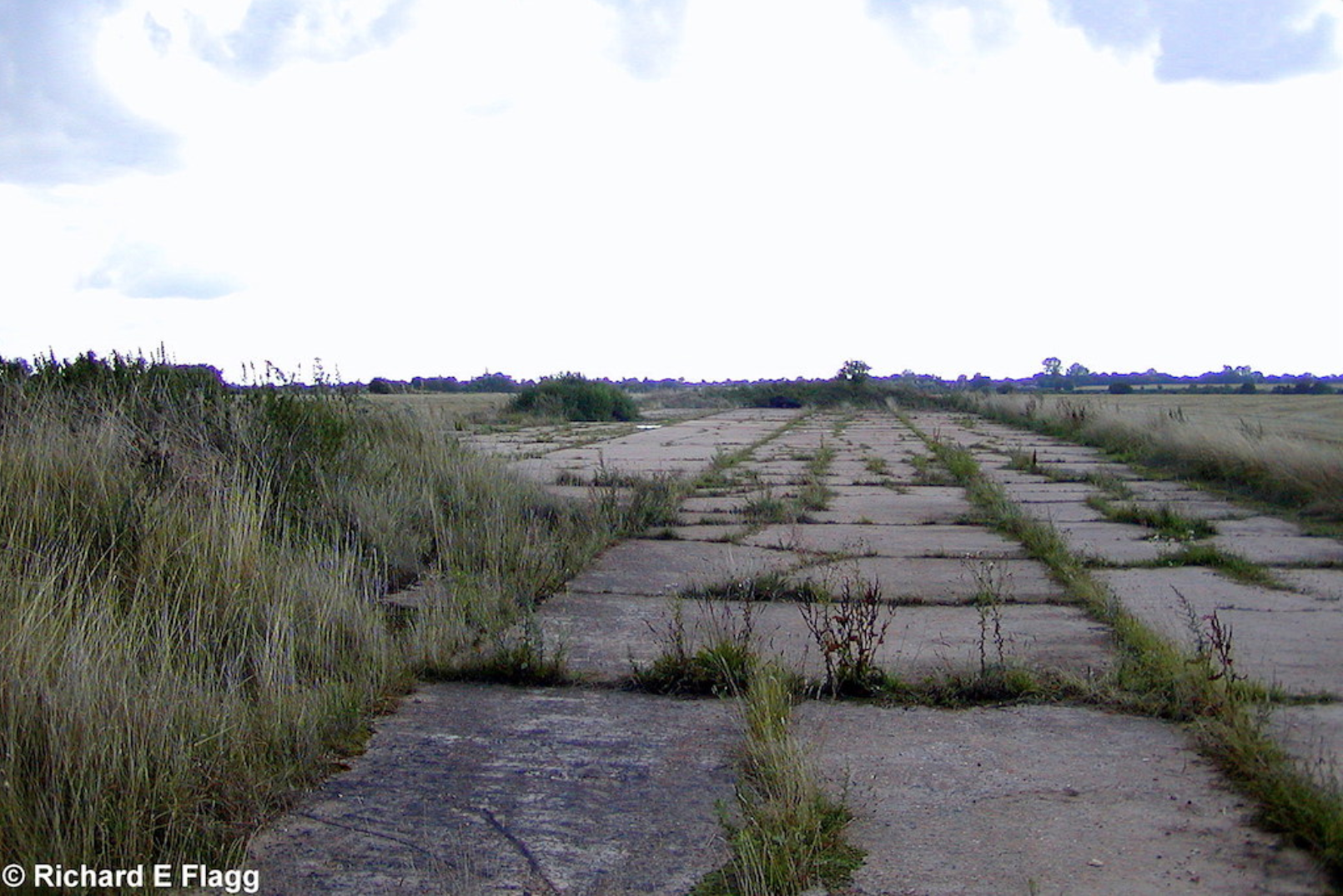
Runway 06:24, looking south west from the runway 17:35 intersection, 13 August 2006. © Richard Flagg
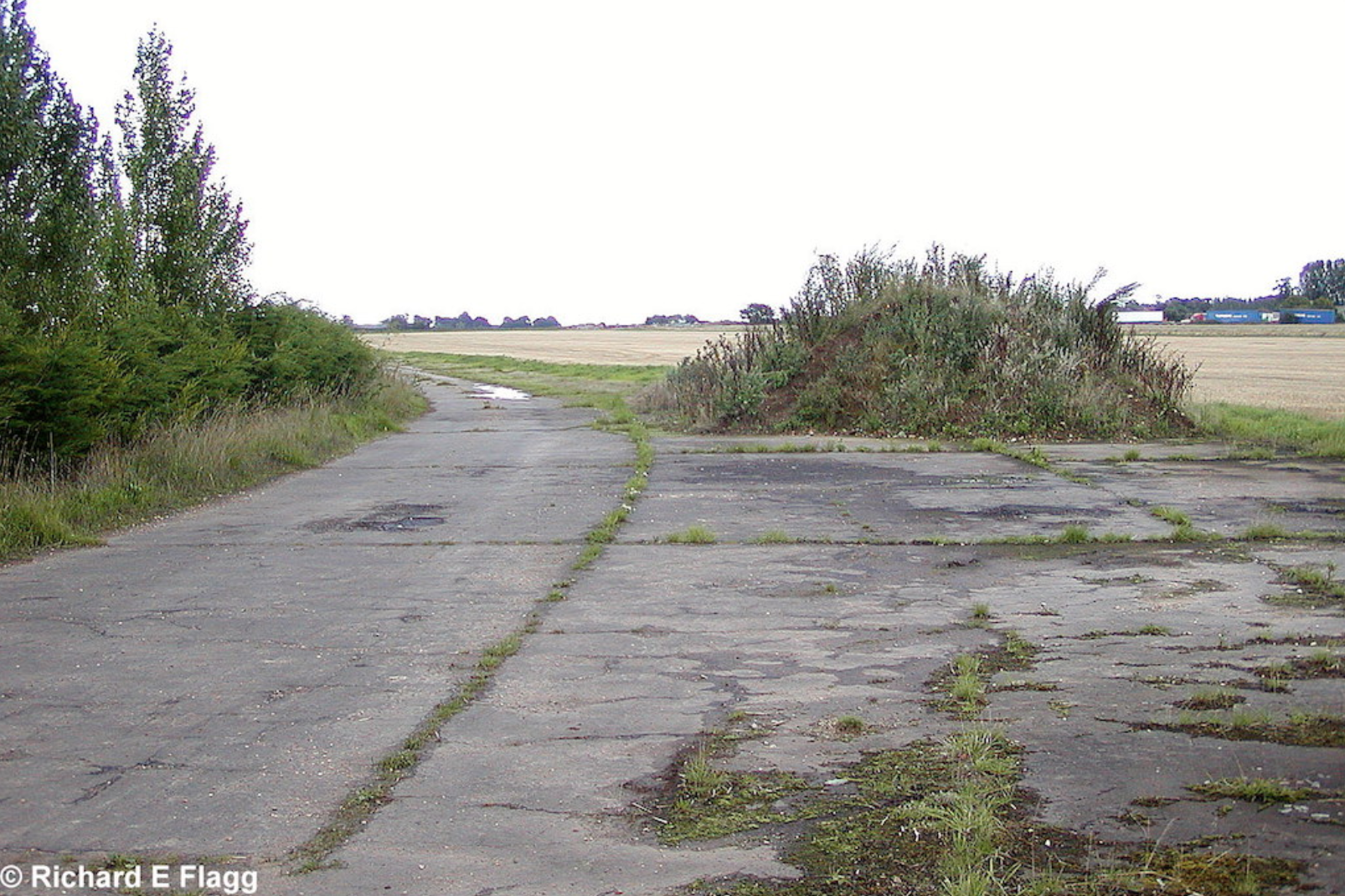
Taxiway at the north of the airfield, looking north east from Stalland Lane, 13 August 2006. © Richard Flagg
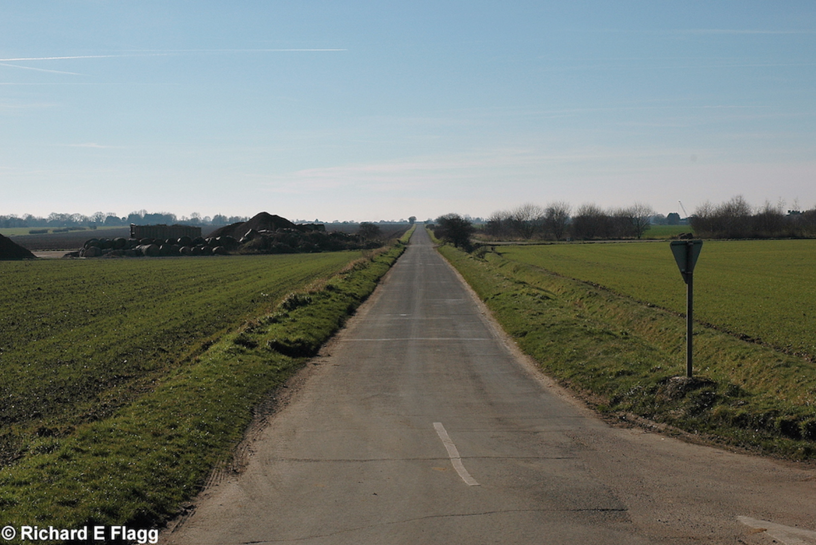
Runway 06:24, looking south west from Stalland Lane, 10 February 2008. © Richard Flagg
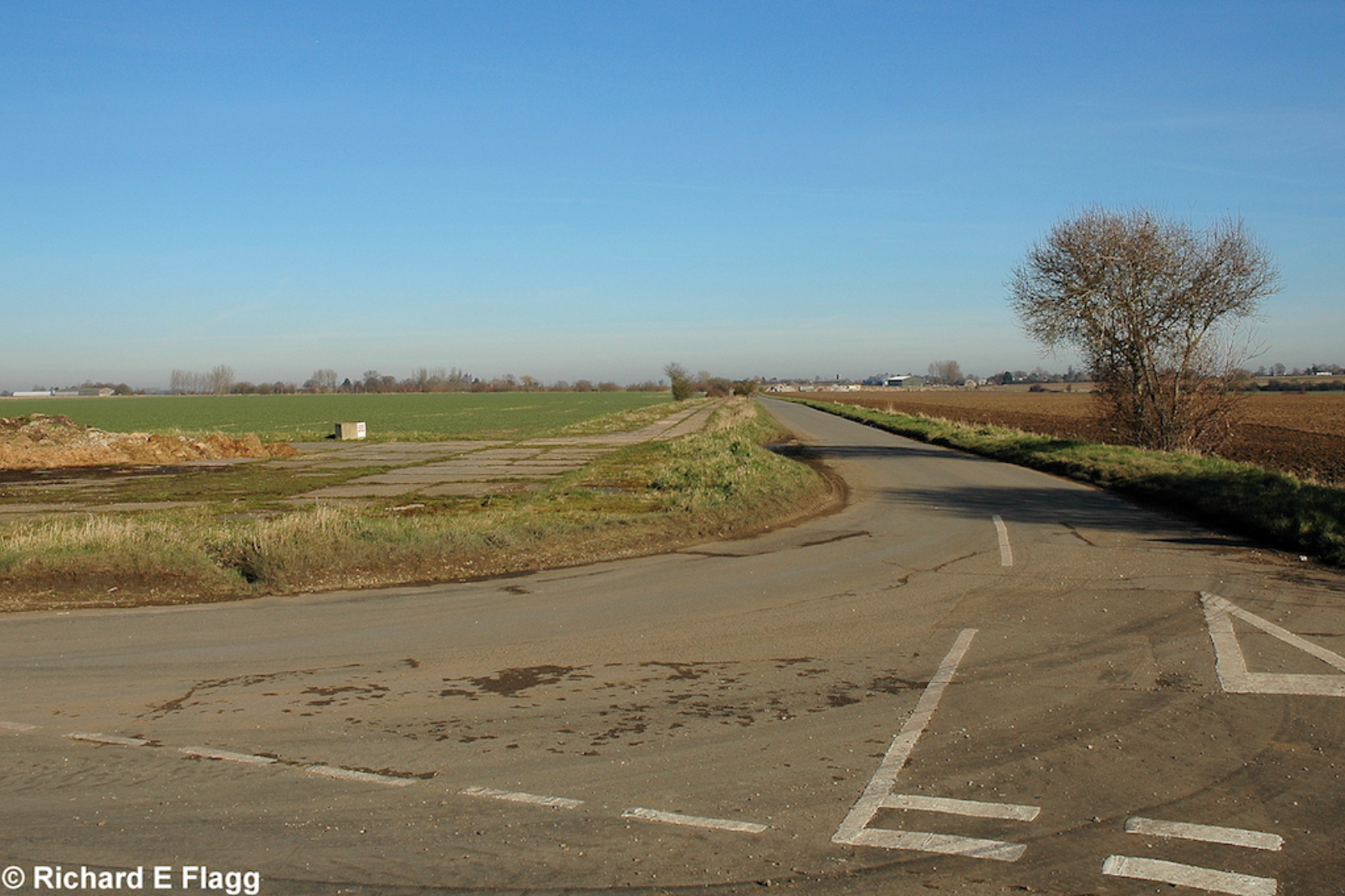
Runway 06:24, looking north east from the runway 17:35 intersection, 10 February 2008. © Richard Flagg
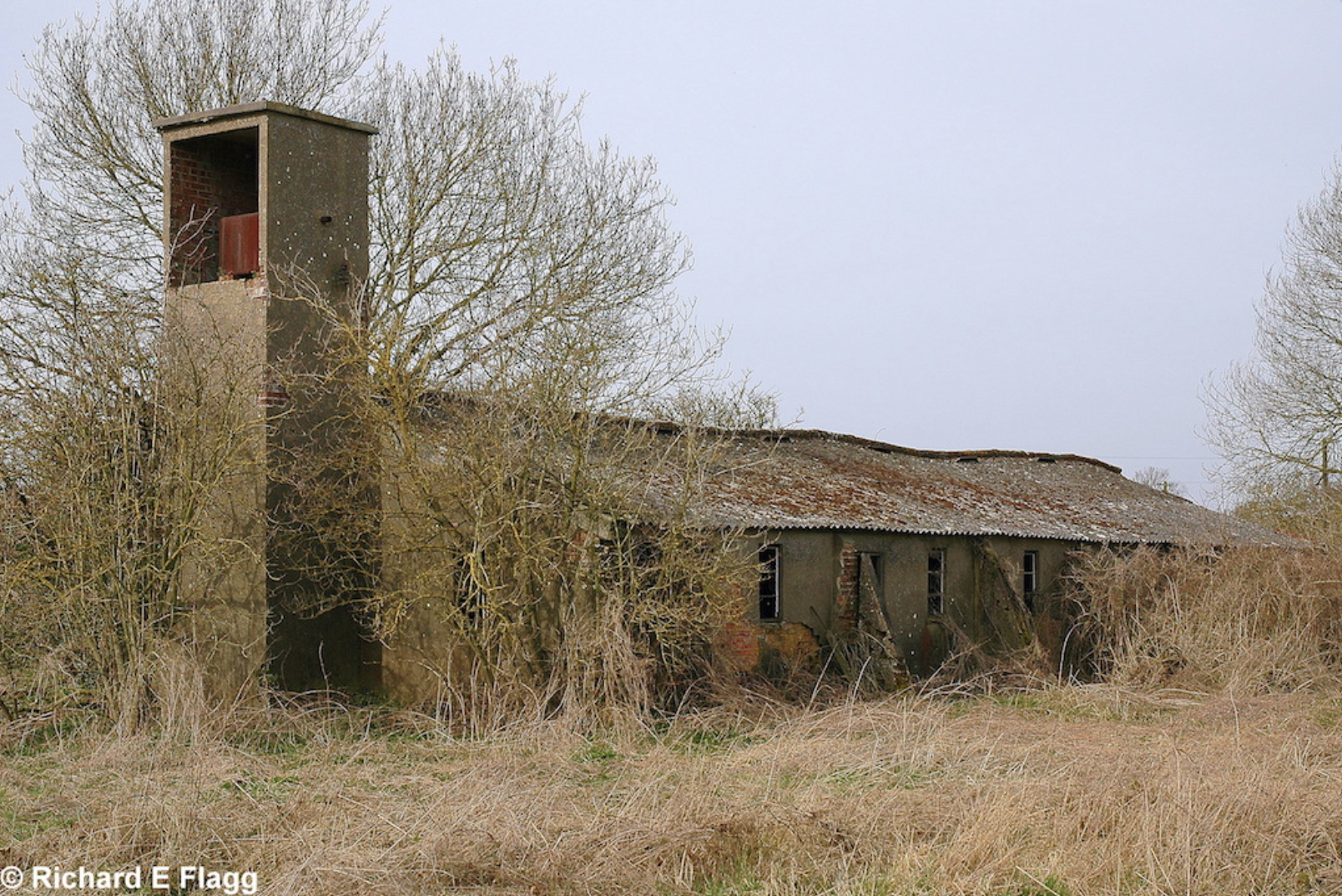
Sergeants and Airmen's Ablutions at Deopham Green, 16 March 2009. © Richard Flagg
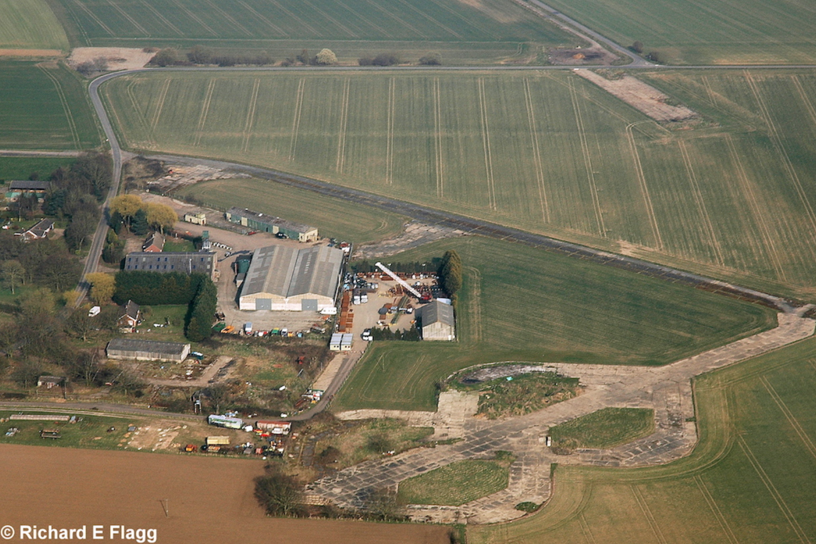
Aerial view of Deopham Green, 21 March 2009. © Richard Flagg
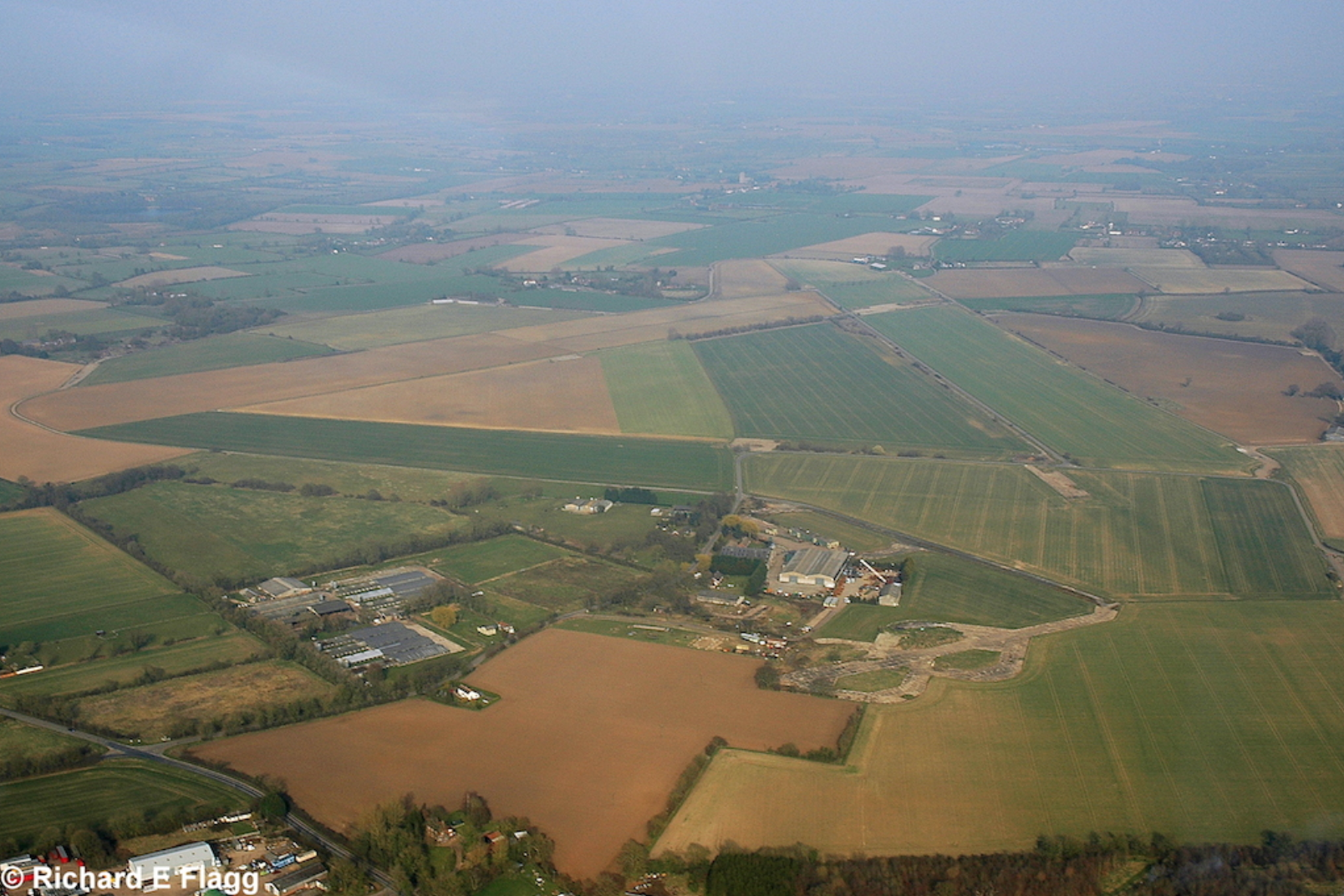
Aerial view of Deopham Green, 21 March 2009. © Richard Flagg
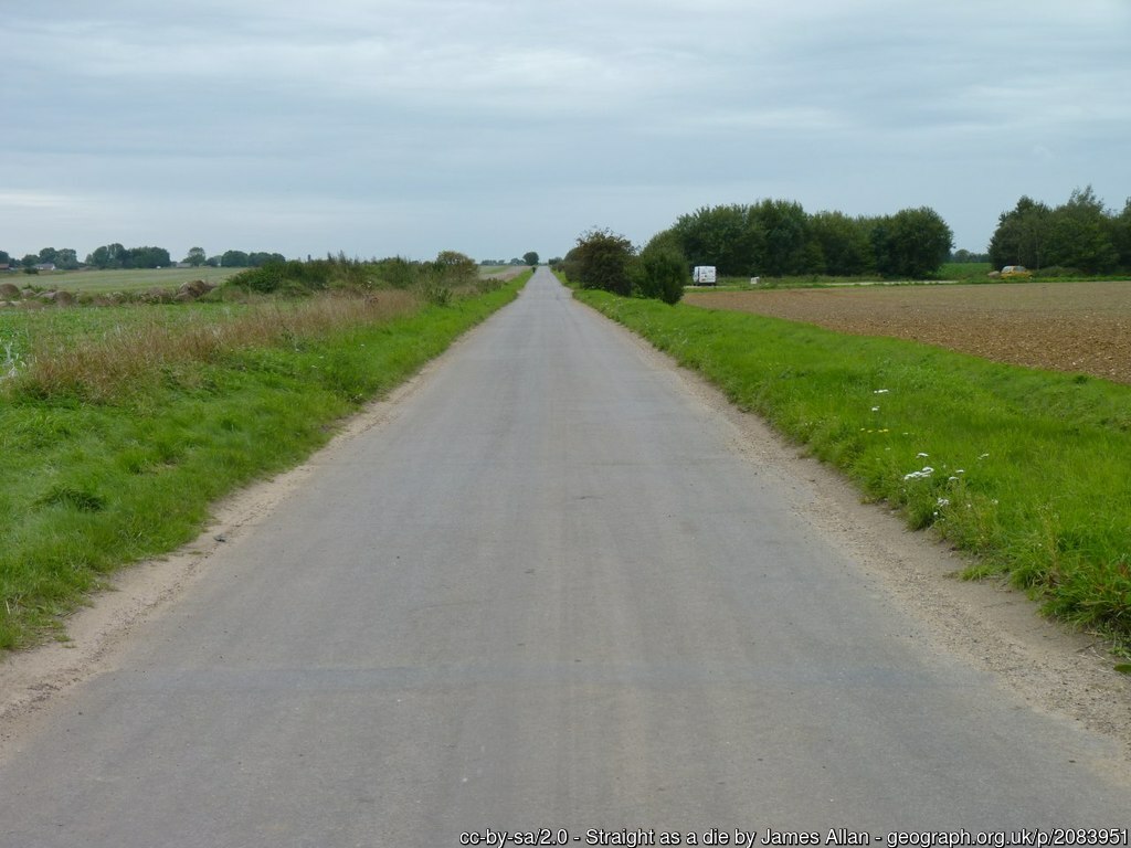
A road following the line of a runway at Deopham Green, 19 September 2010.
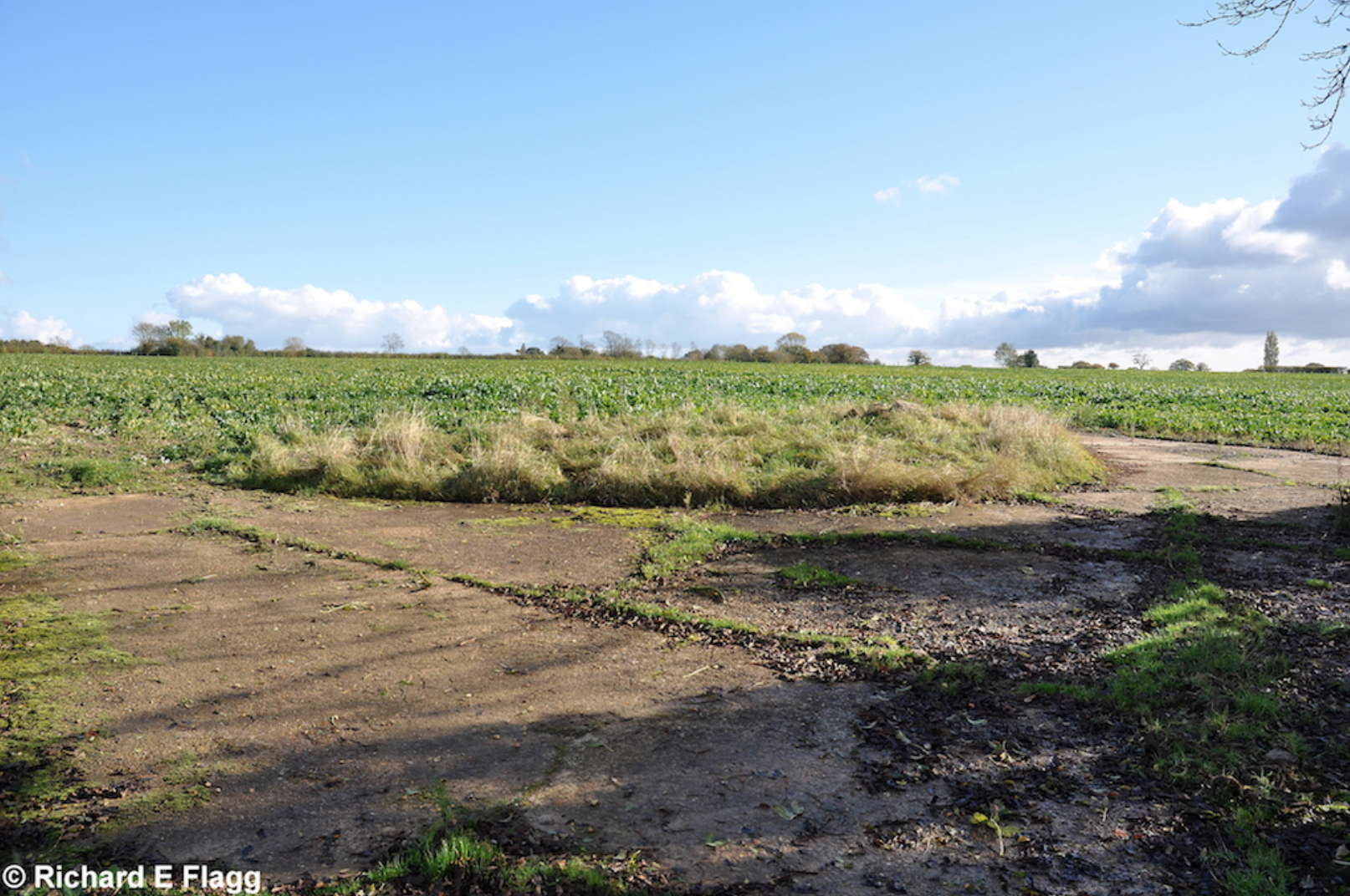
Site of the pyrotechnic stores at Deopham Green, 5 November 2012. © Richard Flagg
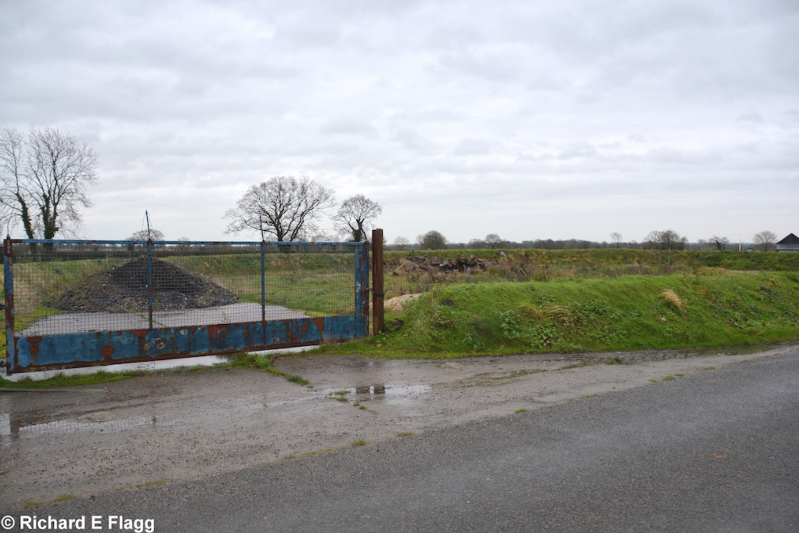
Petrol Installation at Deopham Green, 12 December 2015. © Richard Flagg
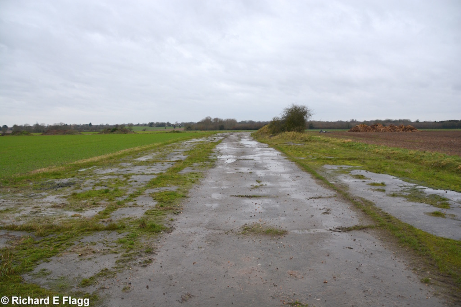
Taxiway at the south of the airfield, looking south west from the road at Bush Green, 12 December 2015. © Richard Flagg
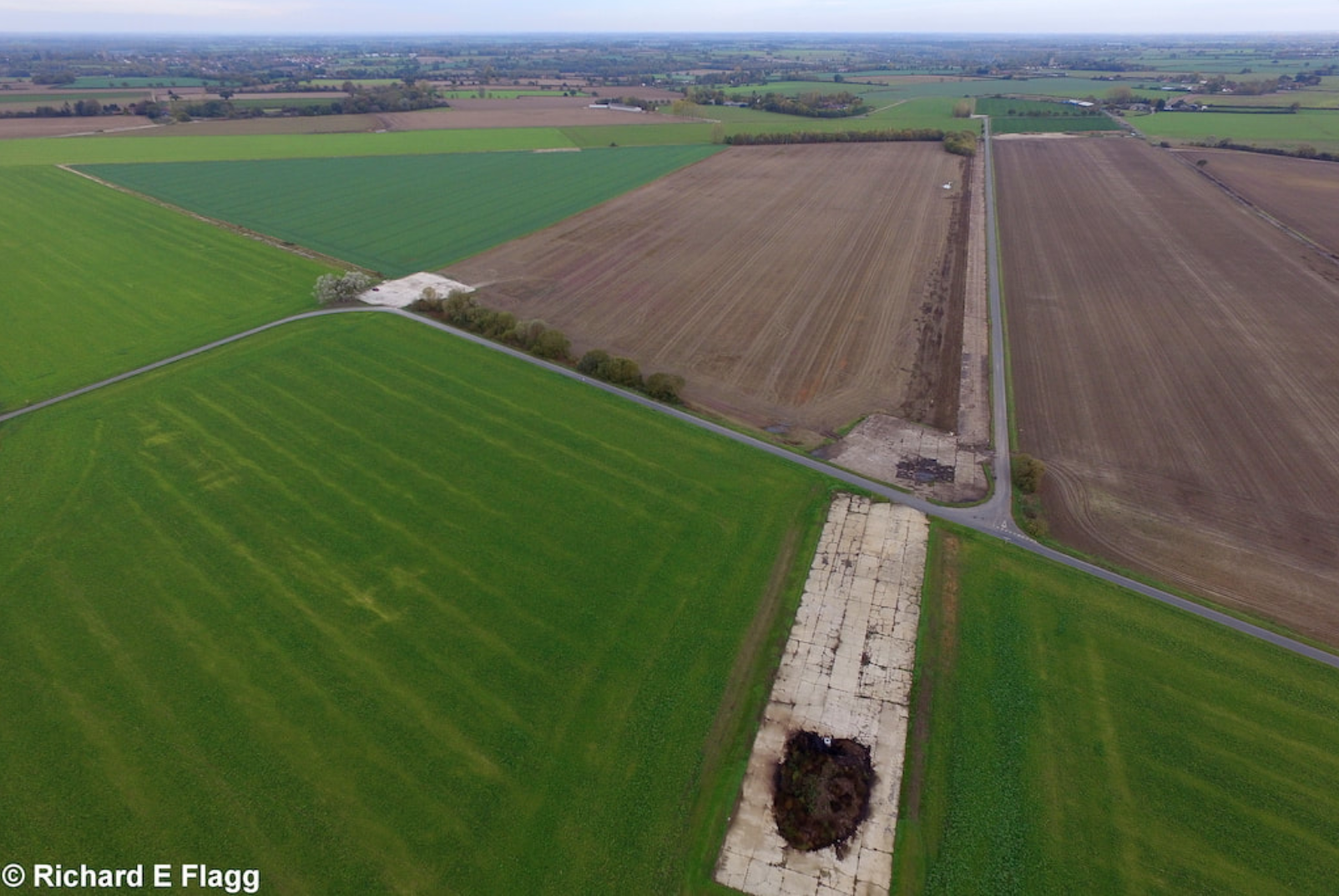
Aerial view of Deopham Green, 3 November 2018. © Richard Flagg
