Video and photographs of ABCT’s Bourn Airfield memorial unveiling, Saturday 29 March 2025. Courtesy of Ed Andrews


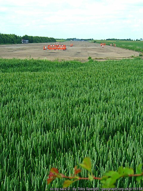
The runway at Bourn, 7 June 2005.
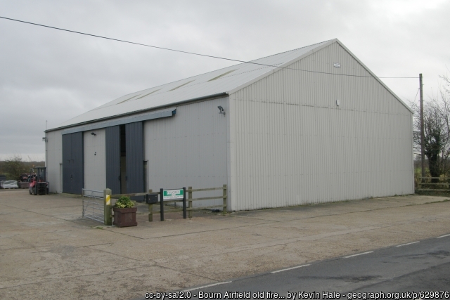
The former fire station at Bourn, 4 December 2007.
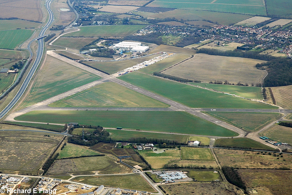
Aerial view of Bourn, 14 March 2009. © Richard Flagg
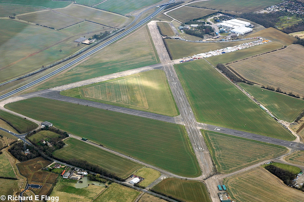
Aerial view of Bourn, 14 March 2009. © Richard Flagg

Runway 06:24, looking south-west, 26 April 2010. © Richard Flagg
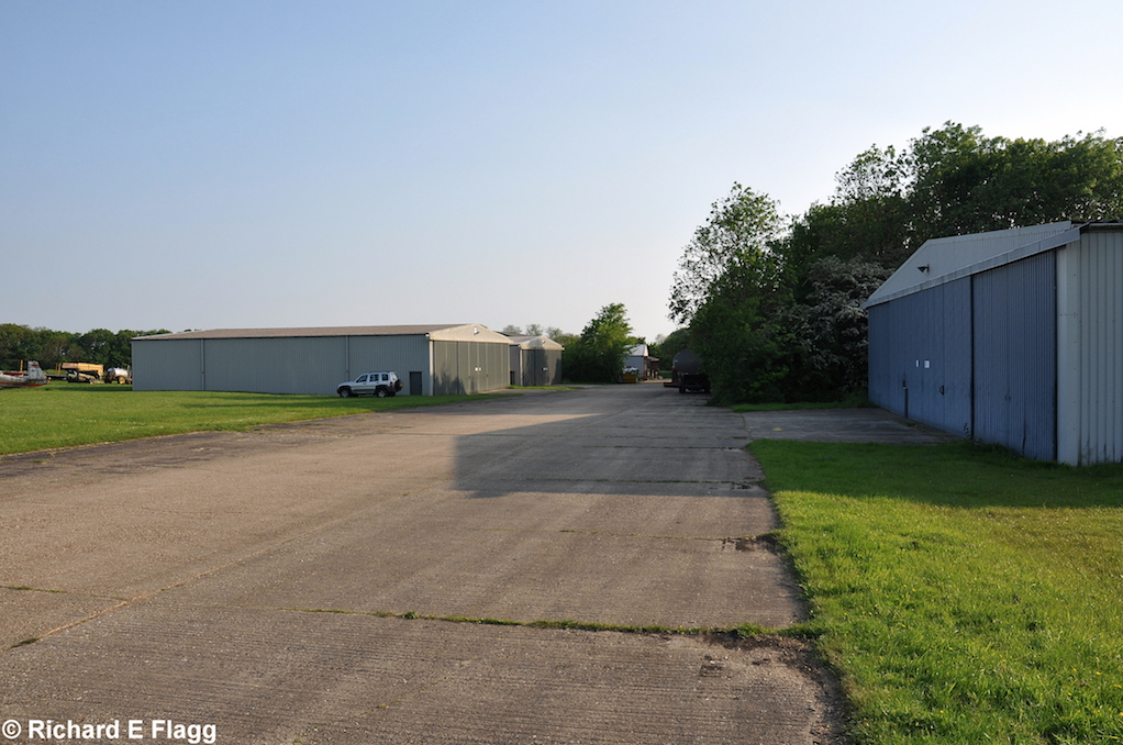
Taxiway at the west of the airfield, looking south west at one of the old dispersals, now where the club hangars are, 18 May 2014. © Richard Flagg
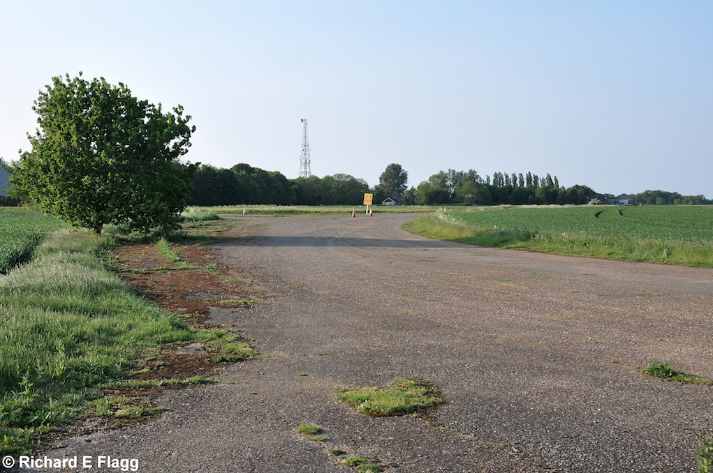
Taxiway at the west of the airfield, looking north from near the runway 06 threshold, 18 May 2014. © Richard Flagg
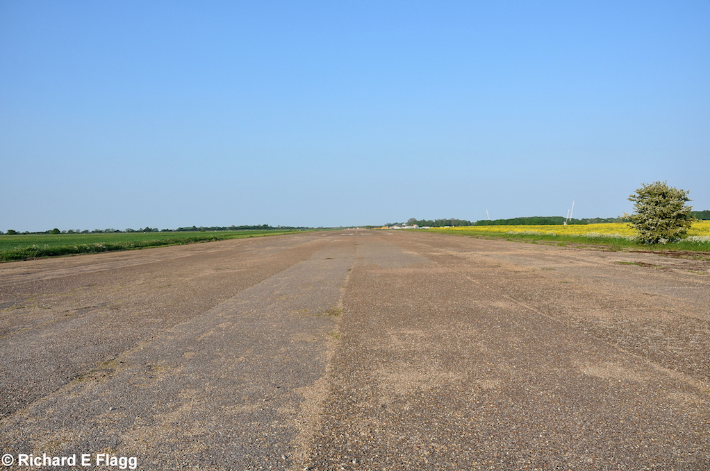
Runway 06:24, looking north-east, 18 May 2014. © Richard Flagg
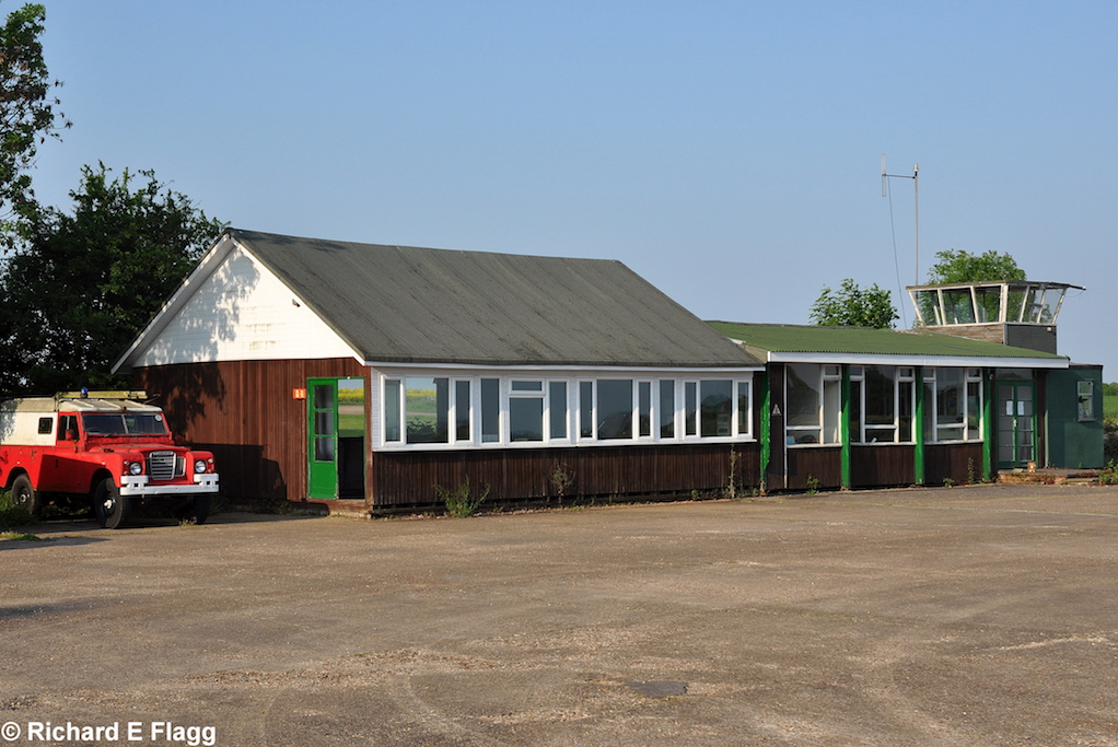
The clubhouse and control tower at Bourn, 18 May 2014. © Richard Flagg
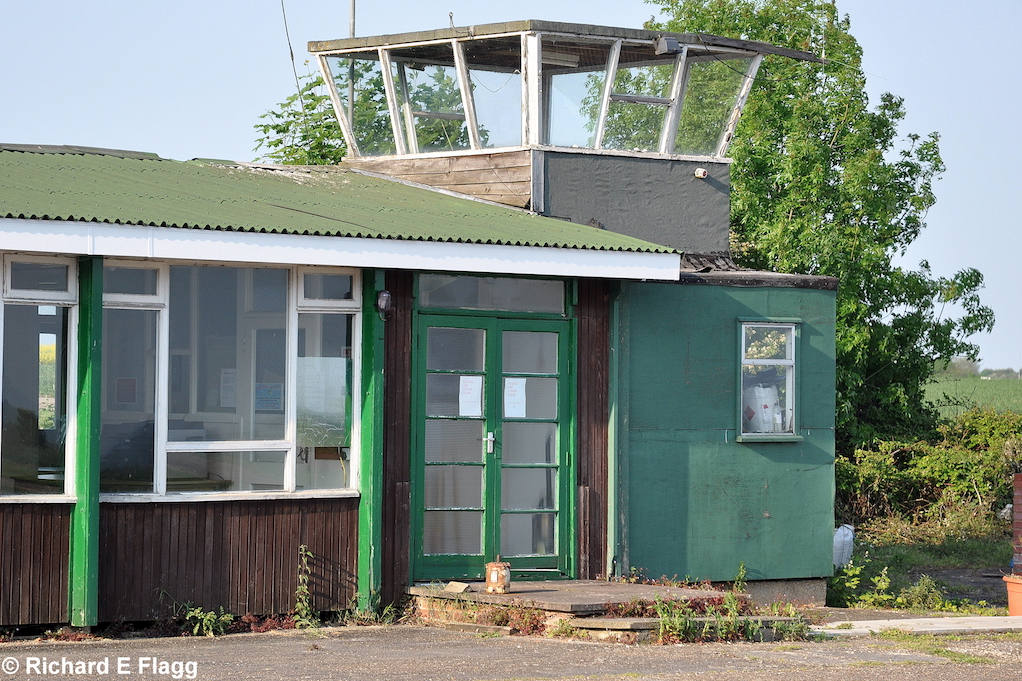
The control tower at Bourn, 18 May 2014. © Richard Flagg