Barford St John
Also known as: | Barford St John Aerodrome / RAF Barford St John / RAF Station, Barford St John |
County: | Oxfordshire |
Current Status: | Military aerial site |
Date: | 30 June 1941 - 26 November 1945 |
Current Use: | Closed to flying |
Used By: | RAF |
Landing Surface Types: | Unpaved, later paved (1942) |
Aircraft Roles: | Experimental / Fighter-reconnaissance / Trainer (main role) |
The following organisations are either based at, use and/or have at least potentially significant connections with the airfield (as at 01/07/2013):
- Barford St John and St Michael Parish Council
- Bloxham Parish Council
- Milton (Banbury) Parish Meeting
The following alternative information/mass media sources have at least potentially significant connections with the airfield (as at 30/11/2018):
- The Barford Villages
Main unit(s) present:
-
No 4 Sqn
-
No 15 SFTS
-
No 16 OTU
-
No 21 HGCU
-
No 169 Sqn
- No 170 Sqn
-
Gloster Aircraft Company
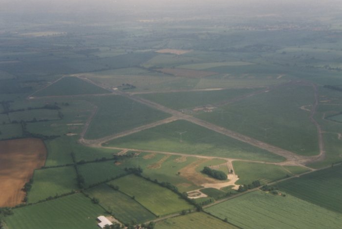
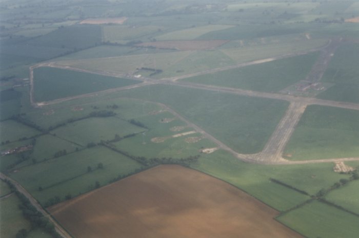
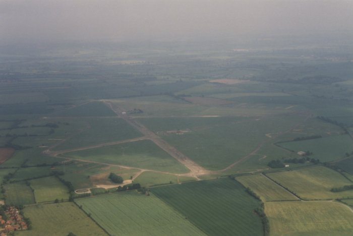
Aerial view of Barford St John looking south-east, 6 June 1998. Photograph copyright © 2016 Nick Challoner, all rights reserved, www.challoner.com
Drive from Croughton to Barford St. John in 1964. Courtesy of William Finlayson
Parent(s)/HQ Airfield(s): |